
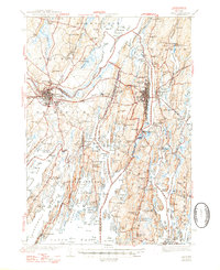
1945 Map of Bath
USGS Topo · Published 1945About this map
The maritime identity of mid-coast Maine is clearly defined by the complex waterways of the Kennebec River and Merrymeeting Bay just before the end of the Second World War. The city of Bath serves as the industrial anchor, showing a dense urban grid and critical infrastructure like the Hospital and Coast Guard Sta. Across the water, Woolwich and Arrowsic are connected by a network of bridges and roads, while the Maine Central railroad provides the primary land-based artery through Brunswick and Topsham.
Find a feature on this map
270 named features on this map. Tap any name to fly to it.
Don’t see what you’re looking for? This feature index may not catch every label — zoom into the map to look around manually.
Map Details
Editions of this 1945 Bath Map
2 editions found
Other maps of this area

1892 · Gardiner
USGS Topo · 1:62,500

1892 · Freeport
USGS Topo · 1:62,500

1893 · Small Point
USGS Topo · 1:62,500

1893 · Casco Bay
USGS Topo · 1:62,500

1893 · Wiscasset
USGS Topo · 1:62,500

1893 · Boothbay
USGS Topo · 1:62,500

1894 · Bath
USGS Topo · 1:62,500

1908 · Lewiston
USGS Topo · 1:62,500

1914 · Casco Bay
USGS Topo · 1:48,000

1916 · Casco Bay
USGS Topo · 1:62,500