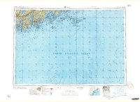
1957 Map of Bath
USGS Topo · Published 1957About this map
The Maine Central RR connects the coastal industrial centers of Bath and Brunswick on this mid-century survey of the Midcoast region. The geography is defined by long finger-like peninsulas and deep estuaries, including the Kennebec River, Sheepscot River, and Damariscotta River. These waterways supported a network of maritime towns from Wiscasset to Rockland. Further offshore, the map details the isolated outposts of the North Atlantic Ocean, including Matinicus Isle, Monhegan Island, and the treacherous Matinicus Rock. This period reflects the established coastal highway system, with Us 1 serving as the primary corridor through Damariscotta, Waldoboro, and Thomaston. The complex archipelago of Muscle Ridge Islands and the entrance to Penobscot Bay demonstrate the intricate navigational landscape that has long shaped the maritime economy and local identity of the Maine coast.
Find a feature on this map
85 named features on this map. Tap any name to fly to it.
Don’t see what you’re looking for? This feature index may not catch every label — zoom into the map to look around manually.
Map Details
Editions of this 1957 Bath Map
This is the sole edition of this map. No revisions or reprints were ever made.
Other maps of this area
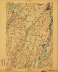
1892 · Gardiner
USGS Topo · 1:62,500
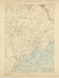
1892 · Freeport
USGS Topo · 1:62,500
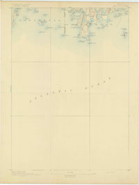
1893 · Small Point
USGS Topo · 1:62,500
1893 · Casco Bay
USGS Topo · 1:62,500
1893 · Wiscasset
USGS Topo · 1:62,500
1893 · Boothbay
USGS Topo · 1:62,500
1894 · Bath
USGS Topo · 1:62,500
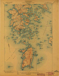
1904 · Deer Isle
USGS Topo · 1:62,500
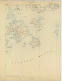
1904 · Swan Island
USGS Topo · 1:62,500
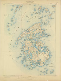
1904 · Vinalhaven
USGS Topo · 1:62,500