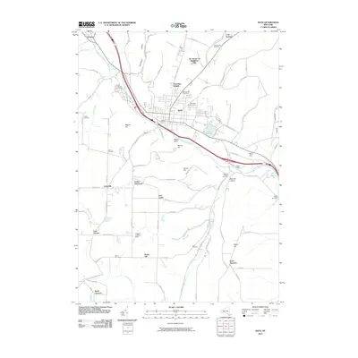
2010 Map of Bath
USGS Topo · Published 2010About this map
Bath serves as the focal point of this survey, where the Cohocton River valley shapes the regional transportation and settlement patterns. The village is surrounded by significant memorial and agricultural sites, including the expansive Bath National Cemetery to the west and the Hopkins Dairy Farm to the east. The landscape transitions from the developed corridors of Haverling Heights and The Homes Of Wildflower Hills into rural uplands characterized by family-named landmarks like Magees Hill and Bonny Hill. Smaller hamlets and historical clusters such as Kanona, Dudley Settlement, and North Thurston are connected by a network of hollow roads. Water features like Lake Salubria and Cold Brook provide a distinct contrast to the elevated terrain of Babcock Hollow and Mossy Bank. Numerous burial grounds, from the Pioneer Cemetery to the secluded Look Cemetery, offer a rich record for genealogical research across Steuben County.
Find a feature on this map
90 named features on this map. Tap any name to fly to it.
Don’t see what you’re looking for? This feature index may not catch every label — zoom into the map to look around manually.
Map Details
Editions of this 2010 Bath Map
This is the sole edition of this map. No revisions or reprints were ever made.
Other maps of this area

1903 · Hammondsport
USGS Topo · 1:62,500

1910 · Bath
USGS Topo · 1:62,500

1914 · Corning
USGS Topo · 1:62,500

1924 · Woodhull
USGS Topo · 1:48,000

1926 · Woodhull
USGS Topo · 1:62,500

1944 · Woodhull
USGS Topo · 1:62,500

1944 · Corning
USGS Topo · 1:62,500

1950 · Elmira
USGS Topo · 1:250,000

1953 · Campbell
USGS Topo · 1:24,000

1953 · Cameron
USGS Topo · 1:24,000