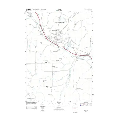
2013 Map of Bath
USGS Topo · Published 2013About this map
Bath serves as the focal point of this Steuben County landscape, situated along the Cohocton River where the valley floor meets the rising elevations of Magees Hill and Sharps Hill. The village's deep ties to national service and local heritage are evident in the sprawling grounds of the Bath National Cem and the Pioneer Cem, while more recent residential growth is visible at Haverling Heights and The Homes Of Wildflower Hills.
Find a feature on this map
126 named features on this map. Tap any name to fly to it.
Don’t see what you’re looking for? This feature index may not catch every label — zoom into the map to look around manually.
Map Details
Editions of this 2013 Bath Map
This is the sole edition of this map. No revisions or reprints were ever made.
Other maps of this area

1903 · Hammondsport
USGS Topo · 1:62,500

1910 · Bath
USGS Topo · 1:62,500

1914 · Corning
USGS Topo · 1:62,500

1924 · Woodhull
USGS Topo · 1:48,000

1926 · Woodhull
USGS Topo · 1:62,500

1944 · Woodhull
USGS Topo · 1:62,500

1944 · Corning
USGS Topo · 1:62,500

1950 · Elmira
USGS Topo · 1:250,000

1953 · Campbell
USGS Topo · 1:24,000

1953 · Cameron
USGS Topo · 1:24,000