
1910 Map of Bath
USGS Topo · Published 1910About this map
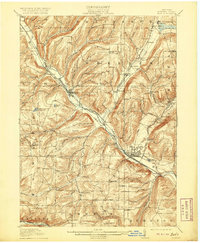
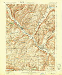
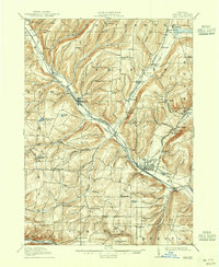
Bath serves as the central hub of this 1908 survey, situated at the confluence of several vital rail lines and the Cohocton River. The landscape is a network of ridges and deep hollows, characterized by named hills like Hickory Hill and Brooks Hill that divide the various creek valleys. Prominent institutional landmarks near the village include the State Soldiers and Sailors Home, the County House, and the State Fish Hatchery near Pleasant Valley.
Find a feature on this map
85 named features on this map. Tap any name to fly to it.
Don’t see what you’re looking for? This feature index may not catch every label — zoom into the map to look around manually.
Map Details
Editions of this 1910 Bath Map
4 editions found
Other maps of this area

1900 · Naples
USGS Topo · 1:62,500

1902 · Wayland
USGS Topo · 1:62,500

1903 · Naples
USGS Topo · 1:62,500

1903 · Penn Yan
USGS Topo · 1:62,500

1903 · Hammondsport
USGS Topo · 1:62,500

1904 · Wayland
USGS Topo · 1:62,500

1913 · Naples
USGS Topo · 1:62,500

1914 · Corning
USGS Topo · 1:62,500

1915 · Hornell
USGS Topo · 1:62,500

1918 · Hornell
USGS Topo · 1:62,500