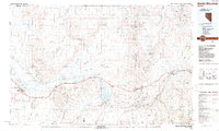
1988 Map of Battle Mountain
USGS Topo · Published 1988About this map
The Humboldt River corridor dominates this late-twentieth-century study of the high desert, serving as the primary artery for both transportation and industry. The dual tracks of the Southern Pacific and Western Pacific railroads parallel the river, connecting historic stops like Beowawe and Dunphy with the established town of Battle Mountain. This infrastructure supports a landscape heavily shaped by mineral extraction, evidenced by the Open Pit Mine operations and named sites such as Schroeder Mountain Mine and the Iron Blossom Mountain Mine.
Find a feature on this map
41 named features on this map. Tap any name to fly to it.
Don’t see what you’re looking for? This feature index may not catch every label — zoom into the map to look around manually.
Map Details
Editions of this 1988 Battle Mountain Map
This is the sole edition of this map. No revisions or reprints were ever made.
Other maps of this area

1882 · Paradise
USGS Topo · 1:250,000

1893 · Paradise
USGS Topo · 1:250,000

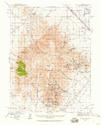
1932 · Sonoma Range
USGS Topo · 1:250,000

1934 · Jiggs
USGS Topo · 1:125,000

1937 · Jiggs
USGS Topo · 1:125,000

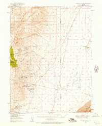
1939 · Sonoma Range
USGS Topo · 1:250,000
1940 · Antler Peak
USGS Topo · 1:62,500

1943 · Antler Peak
USGS Topo · 1:62,500
1949 · Crescent Valley
USGS Topo · 1:62,500
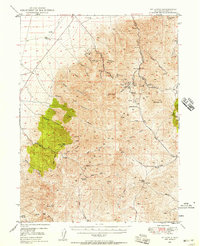
1949 · Mt. Lewis
USGS Topo · 1:62,500