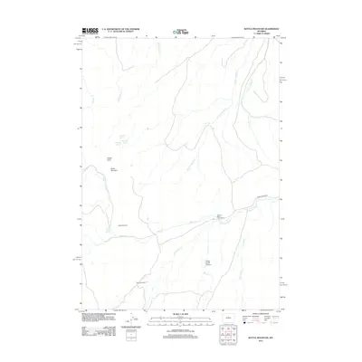
2012 Map of Battle Mountain
USGS Topo · Published 2012About this map
Bates Battlefield marks a significant historical site within this high-desert landscape, where the Nowood River and its various tributaries have carved out deep drainage systems. The terrain is defined by dramatic landforms such as Battle Mountain and Hawks Butte, while the narrow Stove Creek Canyon highlights the area's complex erosion patterns. This region of Washakie County shows a pattern of isolated ranching and homesteading, exemplified by the Rate Homestead and Orchard Bates Creek Ranch near the riverbanks.
Find a feature on this map
17 named features on this map. Tap any name to fly to it.
Don’t see what you’re looking for? This feature index may not catch every label — zoom into the map to look around manually.
Map Details
Editions of this 2012 Battle Mountain Map
This is the sole edition of this map. No revisions or reprints were ever made.
Other maps of this area

1952 · Cottonwood Pass
USGS Topo · 1:24,000

1952 · Sioux Pass
USGS Topo · 1:24,000

1952 · Arapahoe Butte
USGS Topo · 1:24,000

1952 · Battle Mountain
USGS Topo · 1:24,000

1952 · Bull Mountain
USGS Topo · 1:24,000

1955 · Arminto
USGS Topo · 1:250,000

1958 · Arminto
USGS Topo · 1:250,000

1962 · Arminto
USGS Topo · 1:250,000

1966 · Sand Point
USGS Topo · 1:24,000

1966 · Bader Draw
USGS Topo · 1:24,000