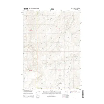
2015 Map of Battle Mountain
USGS Topo · Published 2015About this map
Battle Mtn and Hawks Butte dominate this section of the Bighorn Basin, marking a landscape defined by significant drainage systems and high-desert relief. The Nowood River flows through the southeastern portion of the quadrangle, joined by tributaries including Bates Cr and Crawford Cr. This 2015 survey illustrates the remote character of the Washakie County high country, where water sources like Dead Indian Spring and the Mexican Lakes are critical landmarks.
Find a feature on this map
21 named features on this map. Tap any name to fly to it.
Don’t see what you’re looking for? This feature index may not catch every label — zoom into the map to look around manually.
Map Details
Editions of this 2015 Battle Mountain Map
This is the sole edition of this map. No revisions or reprints were ever made.
Other maps of this area

1952 · Cottonwood Pass
USGS Topo · 1:24,000

1952 · Sioux Pass
USGS Topo · 1:24,000

1952 · Arapahoe Butte
USGS Topo · 1:24,000

1952 · Battle Mountain
USGS Topo · 1:24,000

1952 · Bull Mountain
USGS Topo · 1:24,000

1955 · Arminto
USGS Topo · 1:250,000

1958 · Arminto
USGS Topo · 1:250,000

1962 · Arminto
USGS Topo · 1:250,000

1966 · Sand Point
USGS Topo · 1:24,000

1966 · Bader Draw
USGS Topo · 1:24,000