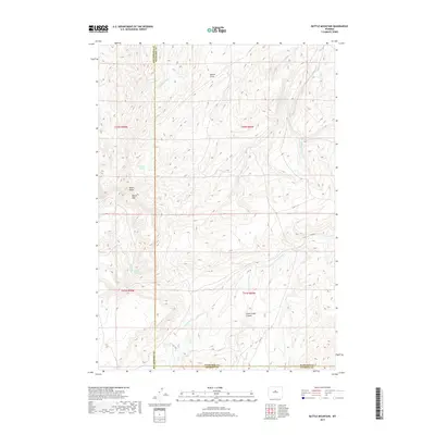
2017 Map of Battle Mountain
USGS Topo · Published 2017About this map
Battle Mtn and the neighboring Hawks Butte dominate this section of the Wyoming interior, where the high desert terrain is defined by complex drainage networks. This 2017 survey details the rugged confluence of counties, where Washakie Co meets Hot Springs Co, Fremont Co, and Natrona Co. The landscape is a study in hydrologic erosion, featuring the deep Stove Creek Canyon and the seasonal paths of the Nowood River and Crawford Cr.
Find a feature on this map
22 named features on this map. Tap any name to fly to it.
Don’t see what you’re looking for? This feature index may not catch every label — zoom into the map to look around manually.
Map Details
Editions of this 2017 Battle Mountain Map
This is the sole edition of this map. No revisions or reprints were ever made.
Other maps of this area

1952 · Cottonwood Pass
USGS Topo · 1:24,000

1952 · Sioux Pass
USGS Topo · 1:24,000

1952 · Arapahoe Butte
USGS Topo · 1:24,000

1952 · Battle Mountain
USGS Topo · 1:24,000

1952 · Bull Mountain
USGS Topo · 1:24,000

1955 · Arminto
USGS Topo · 1:250,000

1958 · Arminto
USGS Topo · 1:250,000

1962 · Arminto
USGS Topo · 1:250,000

1966 · Sand Point
USGS Topo · 1:24,000

1966 · Bader Draw
USGS Topo · 1:24,000