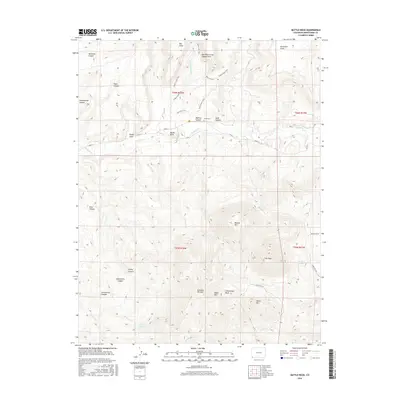
2016 Map of Battle Rock
USGS Topo · Published 2016About this map
McElmo Canyon serves as the central artery of this high-desert landscape in Montezuma County, where the landmark Battle Rock stands watch over the valley floor. This 2016 survey captures a region defined by dramatic verticality and ancient water sources, with the massive presence of Sleeping Ute Mtn and Ute Peak dominating the southern horizon. The map illustrates a network of modern roads like Co RD G and tribal routes including Indian Rte 259, which navigate the complex drainage systems of Cottonwood Wash and McElmo Cr.
Find a feature on this map
41 named features on this map. Tap any name to fly to it.
Don’t see what you’re looking for? This feature index may not catch every label — zoom into the map to look around manually.
Map Details
Editions of this 2016 Battle Rock Map
This is the sole edition of this map. No revisions or reprints were ever made.
Other maps of this area

1956 · Cortez
USGS Topo · 1:250,000

1957 · Moqui NW
USGS Topo · 1:24,000

1957 · Moqui SW
USGS Topo · 1:24,000

1957 · Moqui SE
USGS Topo · 1:24,000

1958 · Sentinel Peak NW
USGS Topo · 1:24,000

1958 · Cortez SW
USGS Topo · 1:24,000

1958 · Sentinel Peak NE
USGS Topo · 1:24,000

1958 · Cortez
USGS Topo · 1:250,000

1959 · Cortez
USGS Topo · 1:250,000

1962 · Cortez
USGS Topo · 1:250,000