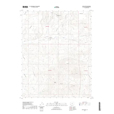
2019 Map of Battle Rock
USGS Topo · Published 2019About this map
Sleeping Ute Mtn and Ute Peak dominate the southern landscape of this 2019 survey, forming the distinctive profile of the Ute Mountain Ute Reservation. The terrain is defined by a series of deep drainages including McElmo Canyon, which cuts across the center of the sheet alongside Co RD G. To the north, the land rises toward Goodman Point and Big Point, marked by the prominent outcrop of Battle Rock. Human history is etched into the geography at the Lamb Cem and along the Sand Canyon Trail, while the geological interest is highlighted by the East Rock Creek Canyon Arch. Numerous water sources such as Ute Spring, Littlewater Spring, and Hanna Spring indicate the critical role of water in this high-desert environment, supporting life between the heights of Marble Mtn and Horse Mtn.
Find a feature on this map
40 named features on this map. Tap any name to fly to it.
Don’t see what you’re looking for? This feature index may not catch every label — zoom into the map to look around manually.
Map Details
Editions of this 2019 Battle Rock Map
This is the sole edition of this map. No revisions or reprints were ever made.
Other maps of this area

1956 · Cortez
USGS Topo · 1:250,000

1957 · Moqui NW
USGS Topo · 1:24,000

1957 · Moqui SW
USGS Topo · 1:24,000

1957 · Moqui SE
USGS Topo · 1:24,000

1958 · Sentinel Peak NW
USGS Topo · 1:24,000

1958 · Cortez SW
USGS Topo · 1:24,000

1958 · Sentinel Peak NE
USGS Topo · 1:24,000

1958 · Cortez
USGS Topo · 1:250,000

1959 · Cortez
USGS Topo · 1:250,000

1962 · Cortez
USGS Topo · 1:250,000