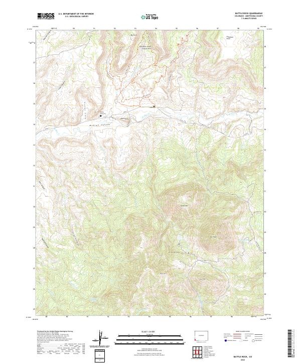
2022 Map of Battle Rock
USGS Topo · Published 2022About this map
McElmo Canyon and the surrounding high desert terrain dominate this 2022 survey of Montezuma County. The map details a landscape deeply connected to its geological and cultural roots, centered on the landmark Battle Rock and the nearby Battle Rock Cem. The high elevations are defined by the towering presence of Sleeping Ute Mtn, with Ute Peak, Black Mtn, and Marble Mtn forming a massive relief against the drainage basins below. Traditional water sources remain critical identifiers in this arid environment, marked by Ute Spring, Hanna Spring, and Littlewater Spring. The rugged north is characterized by deep cuts like Sand Canyon and unique formations such as the East Rock Creek Canyon Arch, while early settlement traces like the Lamb Cem and Goodman Point are clearly preserved alongside historical transit routes like Co RD G.
Find a feature on this map
43 named features on this map. Tap any name to fly to it.
Don’t see what you’re looking for? This feature index may not catch every label — zoom into the map to look around manually.
Map Details
Editions of this 2022 Battle Rock Map
This is the sole edition of this map. No revisions or reprints were ever made.
Other maps of this area

1956 · Cortez
USGS Topo · 1:250,000

1957 · Moqui NW
USGS Topo · 1:24,000

1957 · Moqui SW
USGS Topo · 1:24,000

1957 · Moqui SE
USGS Topo · 1:24,000

1958 · Sentinel Peak NW
USGS Topo · 1:24,000

1958 · Cortez SW
USGS Topo · 1:24,000

1958 · Sentinel Peak NE
USGS Topo · 1:24,000

1958 · Cortez
USGS Topo · 1:250,000

1959 · Cortez
USGS Topo · 1:250,000

1962 · Cortez
USGS Topo · 1:250,000