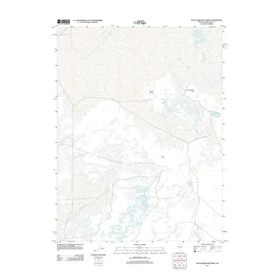
2011 Map of Battleground Point
USGS Topo · Published 2011About this map
Battleground Point stands as a prominent terrain feature in this Churchill County landscape, where the Carson River and its complex distributaries define the terrain. The presence of the Leter Ranch and the nearby Leter Reservoir, accessed via Leter Rd, suggests a localized history of ranching and water management in an area dominated by seasonal and permanent wetlands. These hydrological patterns are further evidenced by the West Fork of Old River and the uniquely named Botulism Bay situated near Pelican Island. The map documents a fragile water system where small bodies like Timber Lake and Duck Lakes dot the desert floor, illustrating the reliance of local industry and habitation on these specific water sources in the early 21st century.
Find a feature on this map
10 named features on this map. Tap any name to fly to it.
Don’t see what you’re looking for? This feature index may not catch every label — zoom into the map to look around manually.
Map Details
Editions of this 2011 Battleground Point Map
This is the sole edition of this map. No revisions or reprints were ever made.
Other maps of this area

1908 · Carson Sink
USGS Topo · 1:250,000

1910 · Carson Sink
USGS Topo · 1:250,000

1950 · Stillwater
USGS Topo · 1:62,500

1951 · Soda Lake
USGS Topo · 1:62,500

1951 · Carson Sink
USGS Topo · 1:62,500

1951 · Desert Peak
USGS Topo · 1:62,500

1957 · Reno
USGS Topo · 1:250,000

1959 · Reno
USGS Topo · 1:250,000

1960 · Reno
USGS Topo · 1:250,000

1979 · Carson Sink
USGS Topo · 1:100,000