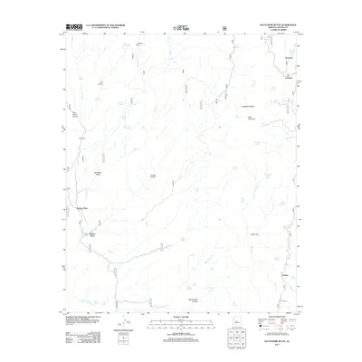
2012 Map of Battleship Butte
USGS Topo · Published 2012About this map
Battleship Butte stands as a central landmark in this high-desert portion of Yavapai County, where deep drainages like Crooks Canyon and Box Canyon carve through the landscape. The settlement pattern is defined by isolated outposts and family-named locations such as Baldwin Place and McNary Place, reflecting the area's history of ranching and remote habitation. Water is the primary driver of geography here, with dozens of named sources including Tin Trough Spring, Bodie Spring, and Dandy Wire Spring supporting life on the arid range. To the east, Longfellow Ridge and Pine Mountain provide significant elevation, while smaller features like the Orr Trap Corral and P Bar Camp indicate the ongoing agricultural use of the land. The presence of Goodwin and Dandrea near Turkey Creek shows the concentration of activity along the more reliable watercourses.
Find a feature on this map
56 named features on this map. Tap any name to fly to it.
Don’t see what you’re looking for? This feature index may not catch every label — zoom into the map to look around manually.
Map Details
Editions of this 2012 Battleship Butte Map
This is the sole edition of this map. No revisions or reprints were ever made.
Other maps of this area

1887 · Prescott
USGS Topo · 1:250,000

1892 · Prescott
USGS Topo · 1:250,000

1903 · Bradshaw Mountains
USGS Topo · 1:125,000

1903 · Congress
USGS Topo · 1:125,000

1904 · Congress
USGS Topo · 1:125,000

1947 · Crown King
USGS Topo · 1:62,500

1947 · Mt. Union
USGS Topo · 1:62,500

1947 · Kirkland
USGS Topo · 1:62,500

1947 · Wagoner
USGS Topo · 1:62,500

1948 · Crown King
USGS Topo · 1:63,360