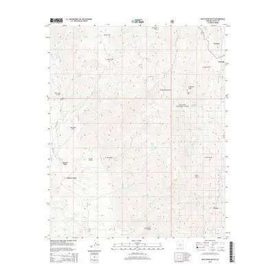
2014 Map of Battleship Butte
USGS Topo · Published 2014About this map
The high ridges of the Bradshaw Mountains dominate this central Arizona landscape, where the Prescott National Forest preserves a network of canyons and peaks. Remote outposts such as McNary Place and Baldwin Place are tucked into the rugged drainages of Milk Cr and Crooks Canyon, reflecting the area's history of isolated ranching and homesteading. The terrain is defined by steep elevation changes, rising to summits like Battleship Butte and Pine Mtn. In the eastern portion of the map, small settlements including Goodwin and Dandrea sit along the winding route of FR 52. The presence of numerous water sources, such as Spence Spring and Blackjack Spring, was essential for both livestock and early settlers in this arid mountain environment. A dense network of forest roads and trails, including Forest 94 Trl, provides access through the deeply incised valleys like Box Canyon and Maidenhead Canyon.
Find a feature on this map
104 named features on this map. Tap any name to fly to it.
Don’t see what you’re looking for? This feature index may not catch every label — zoom into the map to look around manually.
Map Details
Editions of this 2014 Battleship Butte Map
This is the sole edition of this map. No revisions or reprints were ever made.
Other maps of this area

1887 · Prescott
USGS Topo · 1:250,000

1892 · Prescott
USGS Topo · 1:250,000

1903 · Bradshaw Mountains
USGS Topo · 1:125,000

1903 · Congress
USGS Topo · 1:125,000

1904 · Congress
USGS Topo · 1:125,000

1947 · Crown King
USGS Topo · 1:62,500

1947 · Mt. Union
USGS Topo · 1:62,500

1947 · Kirkland
USGS Topo · 1:62,500

1947 · Wagoner
USGS Topo · 1:62,500

1948 · Crown King
USGS Topo · 1:63,360