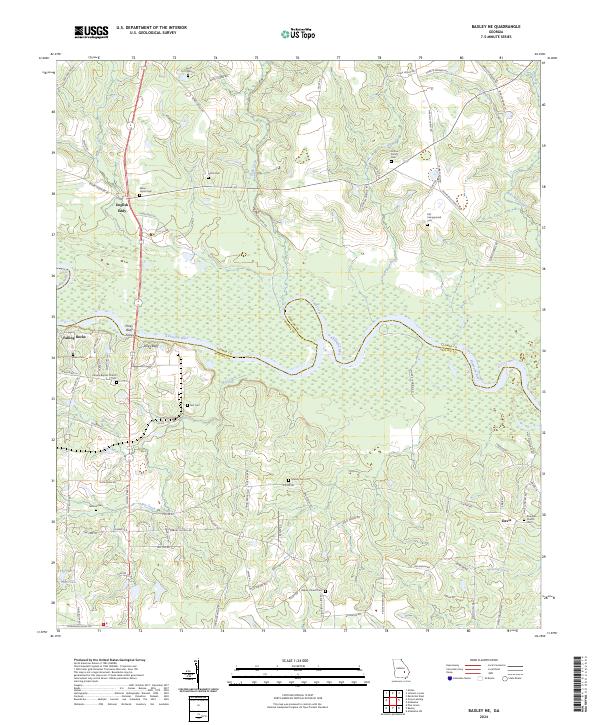
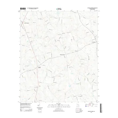
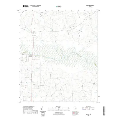
2024 Map of Baxley NE
USGS Topo · Published 2024About this map
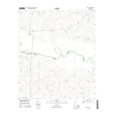
The Altamaha River carves a winding path through this region of Southeast Georgia, serving as the primary boundary between Toombs and Appling counties. Along its northern banks, the small settlement of English Eddy and the community of Piney Bluff mark historic points of river access. The landscape is notably dense with family and community burial sites, including the Clifton Family Cem, Old Campground Cem, and the Mann - Oquin Cem, which offer significant value for genealogical research.
Find a feature on this map
83 named features on this map. Tap any name to fly to it.
Don’t see what you’re looking for? This feature index may not catch every label — zoom into the map to look around manually.
Map Details
Editions of this 2024 Baxley NE Map
This is the sole edition of this map. No revisions or reprints were ever made.
Historical Maps of Davis Through Time
12 maps found
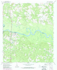
1970 Baxley NE
Toombs County, GA
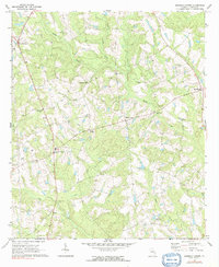
1970 Johnson Corner
Toombs County, GA
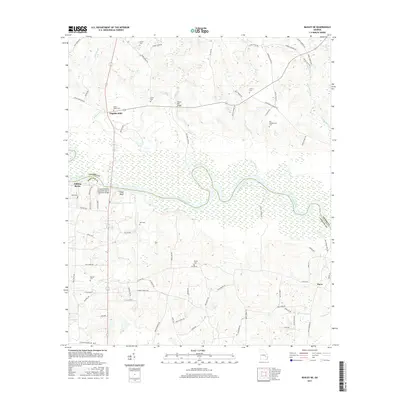
2011 Baxley NE
Toombs County, GA
2011 Johnson Corner
Toombs County, GA
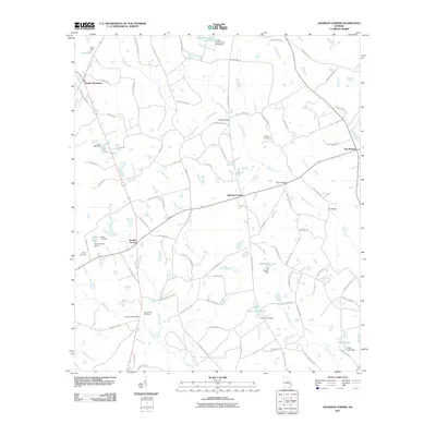
2014 Baxley NE
Toombs County, GA
2014 Johnson Corner
Toombs County, GA
2017 Baxley NE
Toombs County, GA
2017 Johnson Corner
Toombs County, GA
2020 Baxley NE
Toombs County, GA
2020 Johnson Corner
Toombs County, GA
2024 Baxley NE
Toombs County, GA
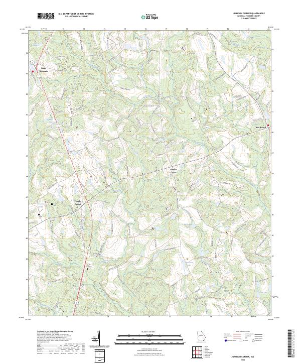
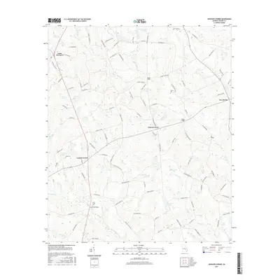
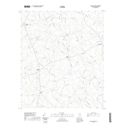
2024 Johnson Corner
Toombs County, GA