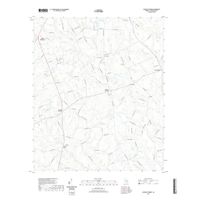
2020 Map of Johnson Corner
USGS Topo · Published 2020About this map
Toombs Central serves as a rural anchor in this Georgia landscape, situated at a road junction southwest of Johnson Corner. The terrain is defined by a dense network of creeks including Rocky Cr, Cobb Cr, and Inman Cr, which feed numerous named bodies of water such as Bill Brown Lake, John Currie Lake, and Cato Lake. These watercourses were historically crossed at points like Knight Bridge, Tar Bridge, and Cainy Ford Bridge. For genealogists, the map is particularly useful for locating small family-named burial grounds, including Pittman Cem, Odom Cem, and Partin Cem. The road names reflect deep local ties, with routes such as L G Herndon Rd and Darrell Thompson Rd honoring families in the South Thompson area.
Find a feature on this map
99 named features on this map. Tap any name to fly to it.
Don’t see what you’re looking for? This feature index may not catch every label — zoom into the map to look around manually.
Map Details
Editions of this 2020 Johnson Corner Map
This is the sole edition of this map. No revisions or reprints were ever made.
Other maps of this area

1953 · Waycross
USGS Topo · 1:250,000

1957 · Macon
USGS Topo · 1:250,000

1958 · Macon
USGS Topo · 1:250,000

1958 · Waycross
USGS Topo · 1:250,000

1964 · Macon
USGS Topo · 1:250,000

1970 · Johnson Corner
USGS Topo · 1:24,000

1970 · Alston
USGS Topo · 1:24,000

1970 · Vidalia
USGS Topo · 1:24,000

1970 · Ohoopee
USGS Topo · 1:24,000

1970 · Reidsville West
USGS Topo · 1:24,000