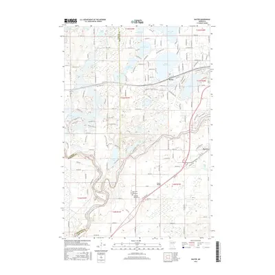
2016 Map of Baxter
USGS Topo · Published 2016About this map
The Mississippi River defines the southern reach of this landscape, carving a path through Crow Wing County where the historic community of Crow Wing and the Barrows settlement sit. The terrain to the north is defined by a dense concentration of glacial water bodies, including Upper Whipple Lake, White Sand Lake, and Mile Lake. This area shows a transition from the established center of Baxter toward more rural clusters and family-named sites.
Find a feature on this map
153 named features on this map. Tap any name to fly to it.
Don’t see what you’re looking for? This feature index may not catch every label — zoom into the map to look around manually.
Map Details
Editions of this 2016 Baxter Map
This is the sole edition of this map. No revisions or reprints were ever made.
Other maps of this area

1915 · Brainerd
USGS Topo · 1:62,500

1916 · Pillager
USGS Topo · 1:62,500

1918 · Brainerd
USGS Topo · 1:62,500

1919 · Pillager
USGS Topo · 1:62,500

1948 · Belle Prairie
USGS Topo · 1:62,500

1948 · Lastrup
USGS Topo · 1:62,500

1950 · Lastrup
USGS Topo · 1:62,500

1950 · Belle Prairie
USGS Topo · 1:62,500

1953 · Brainerd
USGS Topo · 1:250,000

1954 · Baxter
USGS Topo · 1:24,000