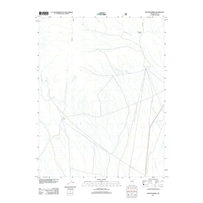
2011 Map of Baxter Spring
USGS Topo · Published 2011About this map
Baxter Camp and a network of desert springs define this arid reach of Nye County. The landscape is characterized by its vital water sources, including Indian Spring, Fitzpatrick Spring, and Spanish Spring, which have long served as essential markers in this high-desert environment. These springs, alongside Mud Spring and Snowbird Spring, dictate the historic movement across the terrain, connected by primitive routes like NFD 015 Rd. Notable landmarks such as Elephant Rock and the drainage of Hunts Creek provide distinct navigational points. The presence of Baxter Spring near the namesake camp suggests a history of seasonal habitation or resource management in an area where water is the primary architect of human and natural patterns.
Find a feature on this map
12 named features on this map. Tap any name to fly to it.
Don’t see what you’re looking for? This feature index may not catch every label — zoom into the map to look around manually.
Map Details
Editions of this 2011 Baxter Spring Map
This is the sole edition of this map. No revisions or reprints were ever made.
Other maps of this area

1907 · Tonopah
USGS Topo · 1:250,000

1908 · Tonopah
USGS Topo · 1:250,000

1956 · Tonopah
USGS Topo · 1:250,000

1959 · Tonopah
USGS Topo · 1:250,000

1962 · Tonopah
USGS Topo · 1:250,000

1963 · Baxter Spring
USGS Topo · 1:62,500

1971 · Antelope Spring
USGS Topo · 1:24,000

1971 · Seyler Peak
USGS Topo · 1:24,000

1971 · Manhattan
USGS Topo · 1:24,000

1971 · Belmont West
USGS Topo · 1:24,000