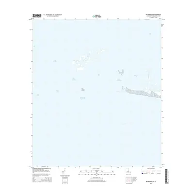
2015 Map of Bay Ronquille
USGS Topo · Published 2015About this map
Bay Ronquille and the surrounding marshlands of Plaquemines Parish dominate this coastal landscape, where the shifting interface of water and land is meticulously recorded. The terrain is characterized by a complex network of bays and inlets, including Bay Long and the expansive Bay Cheniere Ronquille. Human intervention in this tidal environment is evident through the straight cut of the Robinson Canal and the presence of localized landings and structures along the southern shoreline of Bayou La Mer. This survey documents a fragile coastal zone defined by historical passageways like Quatre Bayou Pass, where the interior estuarine waters meet the open Gulf of Mexico. Significant features such as Point Cheniere Ronquille serve as important navigational and ecological reference points within this dynamic deltaic system.
Find a feature on this map
13 named features on this map. Tap any name to fly to it.
Don’t see what you’re looking for? This feature index may not catch every label — zoom into the map to look around manually.
Map Details
Editions of this 2015 Bay Ronquille Map
This is the sole edition of this map. No revisions or reprints were ever made.
Other maps of this area

1892 · Quarantine
USGS Topo · 1:62,500

1893 · Fort Livingston
USGS Topo · 1:62,500

1935 · Port Sulphur
USGS Topo · 1:31,680

1935 · Bastian Bay
USGS Topo · 1:31,680

1935 · Bay Ronquille
USGS Topo · 1:31,680

1935 · Wilkinson Bay
USGS Topo · 1:31,680

1941 · Empire
USGS Topo · 1:62,500

1944 · Empire
USGS Topo · 1:62,500

1947 · Bay Ronquille
USGS Topo · 1:31,680
1947 · Wilkinson Bay
USGS Topo · 1:31,680