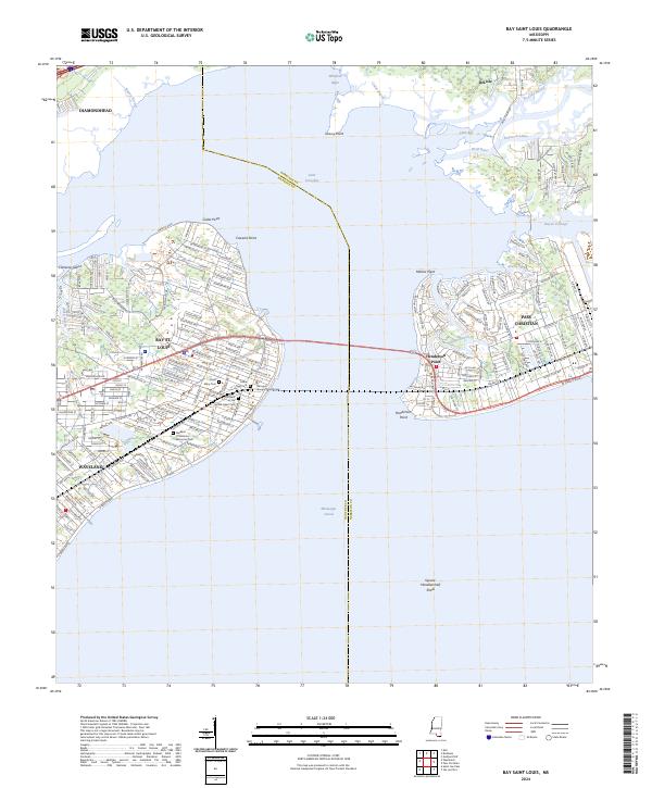
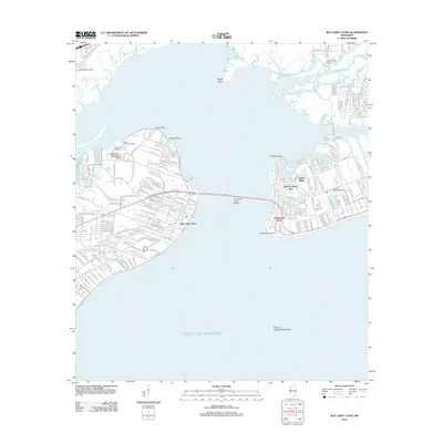
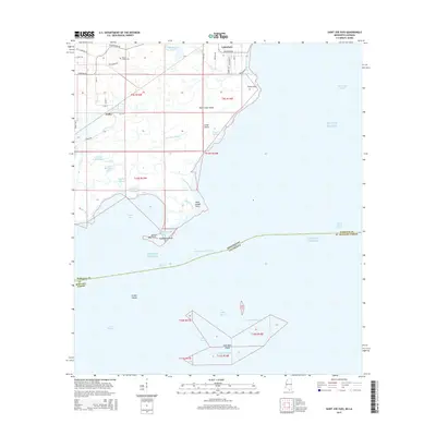
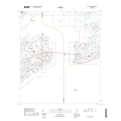
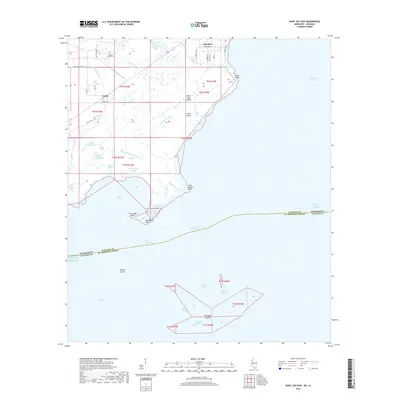
2024 Map of Bay Saint Louis
USGS Topo · Published 2024About this map
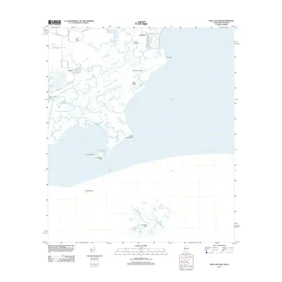
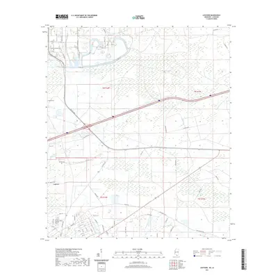
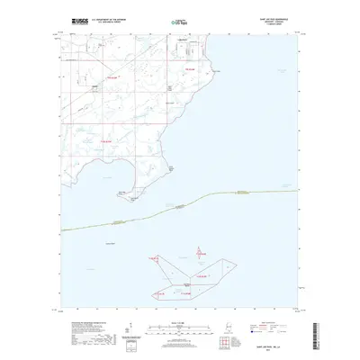
Saint Louis Bay serves as the central focal point of this coastal survey, dividing the waterfront communities of Bay St. Louis and Waveland to the west from Pass Christian and Henderson Point to the east. The landscape is defined by its intricate network of waterways, including the winding Wolf River and Bayou Portage, which flow into the sound. Within the town of Bay St. Louis, the Hancock County Courthouse stands near several established burial sites such as Cedar Rest Cem and Saint Mary Cem. To the south, the expansive waters of the Mississippi Sound reach toward the notable Square Handkerchief Shoal. The map captures a high level of residential development, showing a dense grid of streets and tracts that contrast with the marshy reaches of Grassy Point and the northern banks of DeLisle.
Find a feature on this map
173 named features on this map. Tap any name to fly to it.
Don’t see what you’re looking for? This feature index may not catch every label — zoom into the map to look around manually.
Map Details
Editions of this 2024 Bay Saint Louis Map
This is the sole edition of this map. No revisions or reprints were ever made.
Historical Maps of Diamondhead Through Time
35 maps found
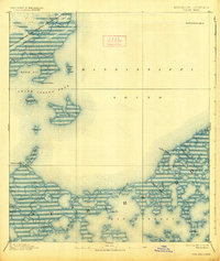
1893 Toulme
Hancock County, MS

1935 Grand Island Pass
Hancock County, MS
1955 Savannah
Hancock County, MS
1956 Grand Island Pass
Hancock County, MS
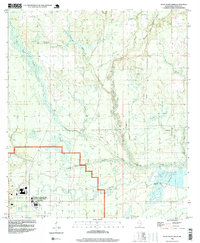
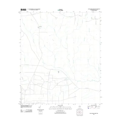
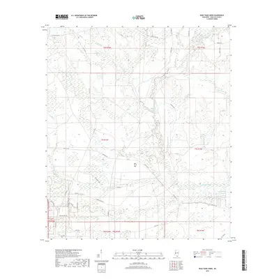
1957 Dead Tiger Creek
Hancock County, MS
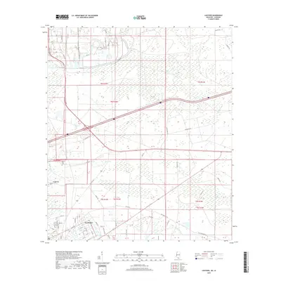
1958 Logtown
Hancock County, MS
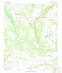
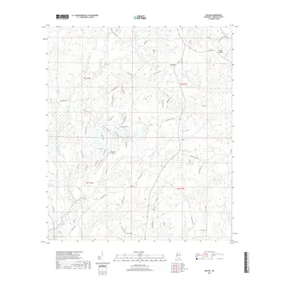
1982 Necaise
Hancock County, MS
1993 Logtown
Hancock County, MS
1994 Saint Joe Pass
Hancock County, MS
1996 Dead Tiger Creek
Hancock County, MS
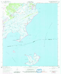
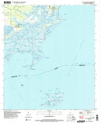
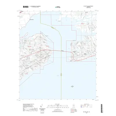
2012 Bay Saint Louis
Hancock County, MS
2012 Dead Tiger Creek
Hancock County, MS
2012 Logtown
Hancock County, MS
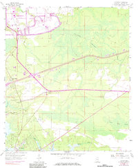
2012 Necaise
Hancock County, MS
2012 Saint Joe Pass
Hancock County, MS
2015 Bay Saint Louis
Hancock County, MS
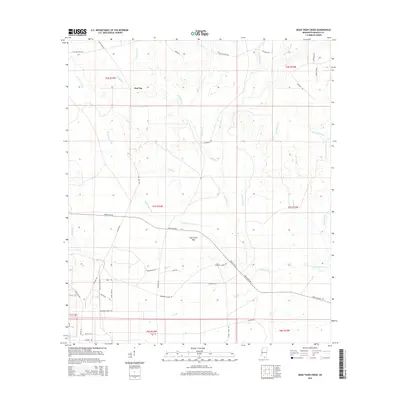
2015 Dead Tiger Creek
Hancock County, MS
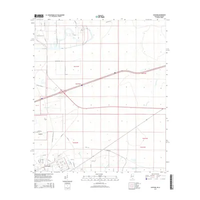
2015 Logtown
Hancock County, MS
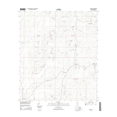
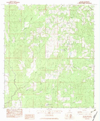
2015 Necaise
Hancock County, MS
2015 Saint Joe Pass
Hancock County, MS
2018 Bay Saint Louis
Hancock County, MS
2018 Dead Tiger Creek
Hancock County, MS
2018 Logtown
Hancock County, MS
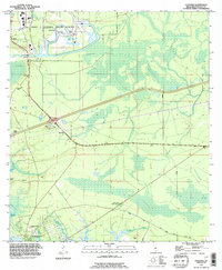
2018 Necaise
Hancock County, MS
2018 Saint Joe Pass
Hancock County, MS
2020 Bay Saint Louis
Hancock County, MS
2020 Dead Tiger Creek
Hancock County, MS
2020 Necaise
Hancock County, MS
2021 Logtown
Hancock County, MS
2021 Saint Joe Pass
Hancock County, MS
2024 Bay Saint Louis
Hancock County, MS
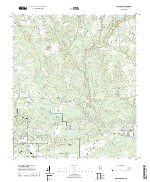
2024 Dead Tiger Creek
Hancock County, MS
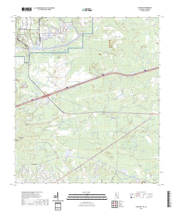
2024 Logtown
Hancock County, MS
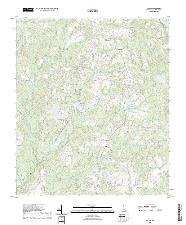
2024 Necaise
Hancock County, MS
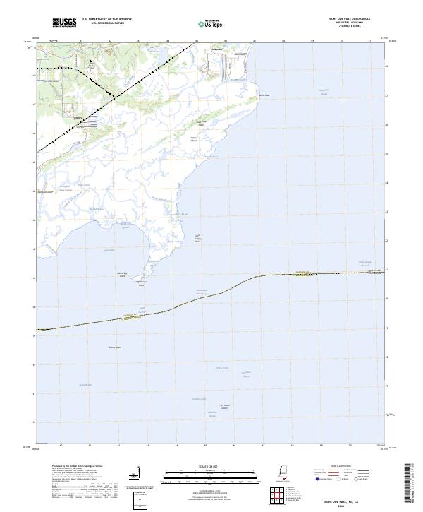
2024 Saint Joe Pass
Hancock County, MS