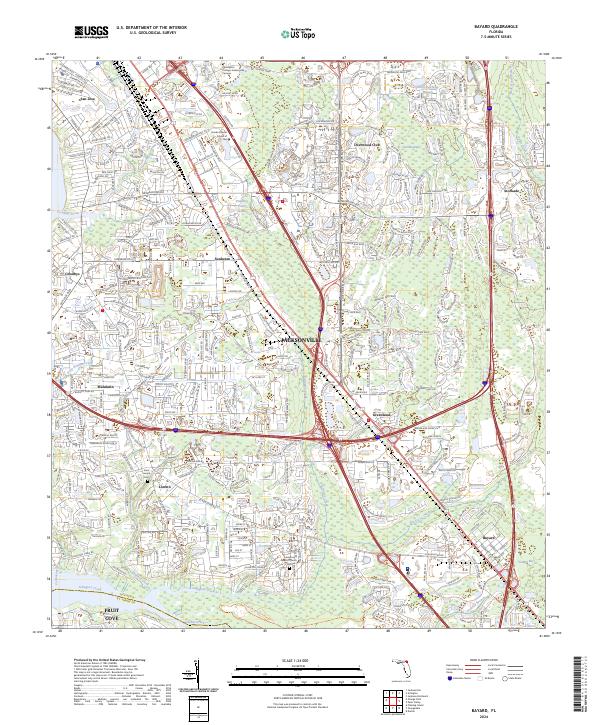
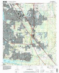
2024 Map of Bayard
USGS Topo · Published 2024About this map
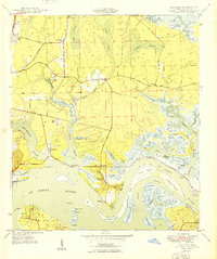
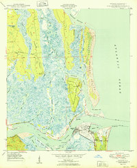
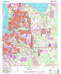
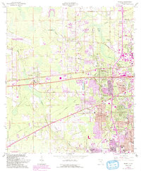
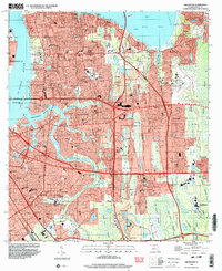
Mandarin and Loretto anchor the southern reaches of Jacksonville, where suburban expansion meets the winding wetlands of Julington Creek. This survey captures a landscape defined by significant infrastructure and established residential enclaves, such as the Deerwood Club and the emerging industrial corridors along Phillips Industrial Blvd. The map highlights important local landmarks for genealogists, including Saint Joseph Cem and the Julington Baptist Church Cem, which serve as physical links to the area's early settlement history.
Find a feature on this map
126 named features on this map. Tap any name to fly to it.
Don’t see what you’re looking for? This feature index may not catch every label — zoom into the map to look around manually.
Map Details
Editions of this 2024 Bayard Map
This is the sole edition of this map. No revisions or reprints were ever made.
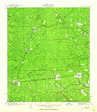
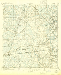
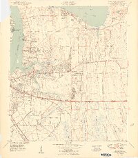
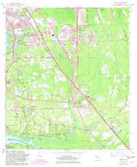
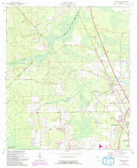
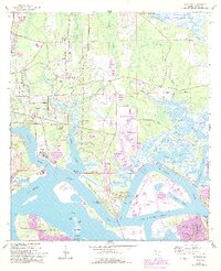
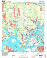
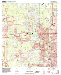
Historical Maps of Deerwood Club Through Time
32 maps found
1917 Cambon
Duval County, FL
1918 Cambon
Duval County, FL

1918 Mayport
Duval County, FL

1948 Eastport
Duval County, FL
1950 Arlington
Duval County, FL
1950 Eastport
Duval County, FL
1950 Mayport
Duval County, FL

1950 Trout River
Duval County, FL
1952 Bayard
Duval County, FL
1958 Italia
Duval County, FL
1963 Arlington
Duval County, FL
1964 Bayard
Duval County, FL
1964 Dinsmore
Duval County, FL
1964 Eastport
Duval County, FL
1964 Marietta
Duval County, FL
1964 Mayport
Duval County, FL
1964 Trout River
Duval County, FL
1993 Bayard
Duval County, FL
1994 Arlington
Duval County, FL
1994 Bayard
Duval County, FL
1994 Eastport
Duval County, FL
1994 Marietta
Duval County, FL
1994 Mayport
Duval County, FL
1994 Trout River
Duval County, FL
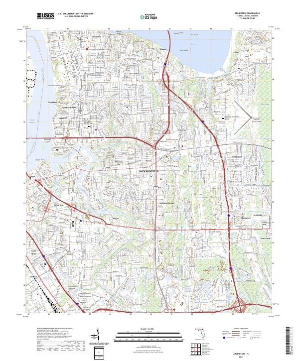
2024 Arlington
Duval County, FL
2024 Bayard
Duval County, FL
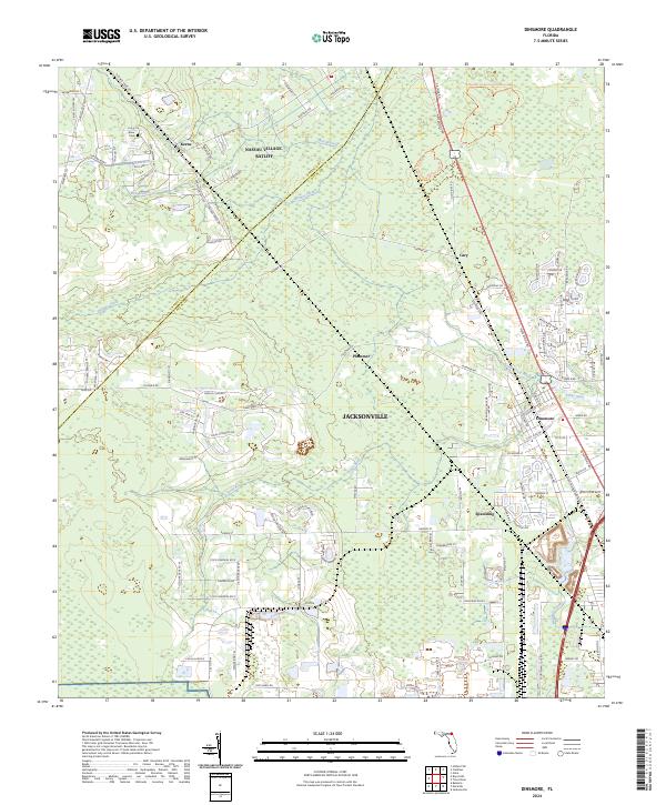
2024 Dinsmore
Duval County, FL
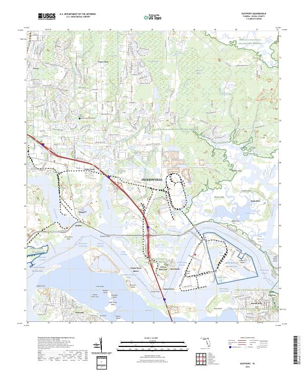
2024 Eastport
Duval County, FL
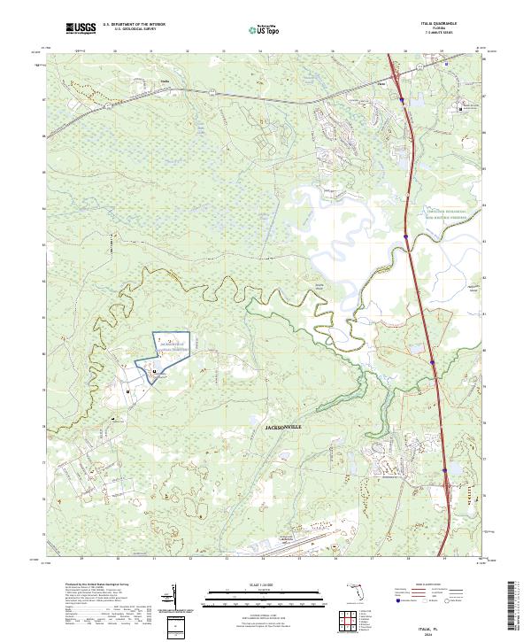
2024 Italia
Duval County, FL
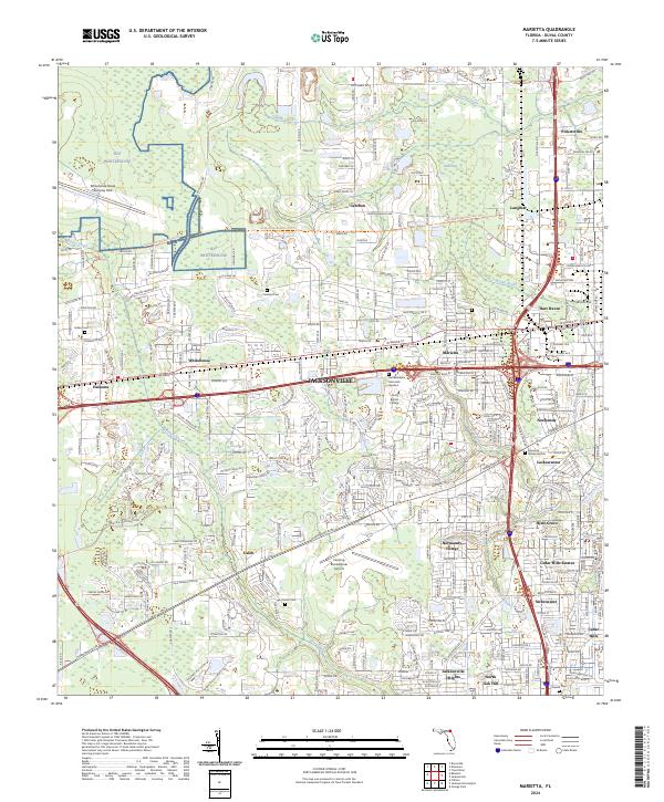
2024 Marietta
Duval County, FL
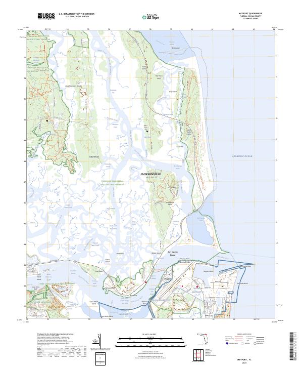
2024 Mayport
Duval County, FL
2024 Trout River
Duval County, FL
Featured Locations
- Jacksonville, FL
- Wesley Manor Retirement Village, FL
- Deerwood Club, Jacksonville
- Greenland, Jacksonville
- San Jose, Jacksonville