2021 Map of Bayard
USGS Topo · Published 2021About this map
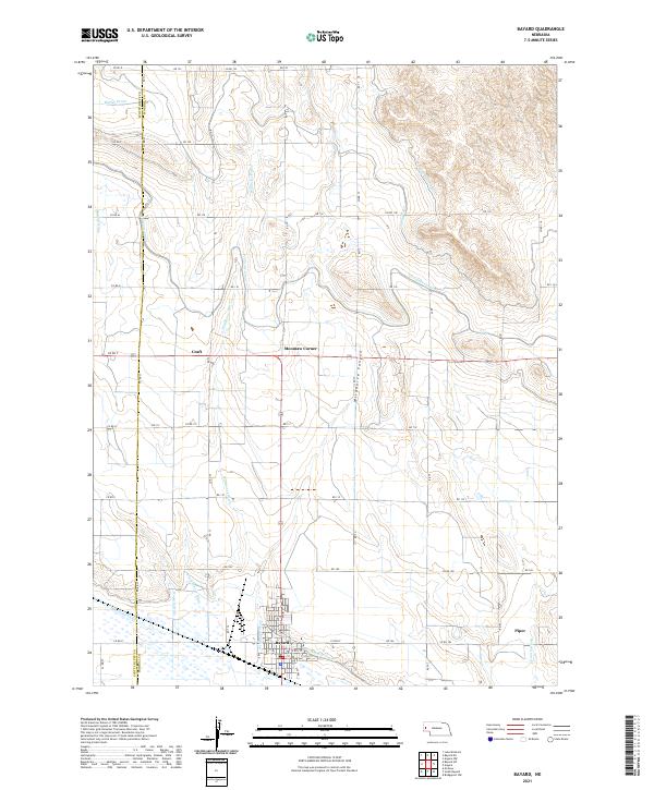
Bayard serves as the primary hub in this Nebraska landscape, where the town grid is established at the intersection of Main St and E 8th St. The surrounding North Platte Valley terrain is defined by an intricate network of irrigation and drainage systems vital to the region's agricultural heritage. Large-scale water management features like the Tri-State Canal, Ninemile Canal, and Short Line Canal snake across the plains, following the natural contours of the land to support local farming operations.
Find a feature on this map
53 named features on this map. Tap any name to fly to it.
Don’t see what you’re looking for? This feature index may not catch every label — zoom into the map to look around manually.
Map Details
Editions of this 2021 Bayard Map
This is the sole edition of this map. No revisions or reprints were ever made.