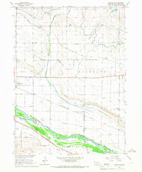
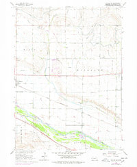
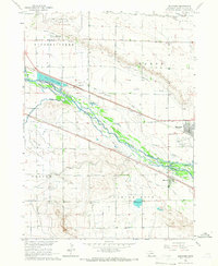
1965 Map of Bayard SW
USGS Topo · Published 1967About this map
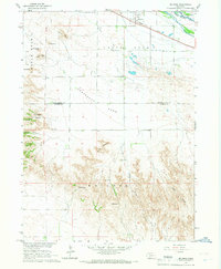
The North Platte River flows through this 1960s landscape, flanked by a complex network of irrigation systems and rail infrastructure that defined the agricultural development of Scotts Bluff County. The intricate web of the Tri-State Canal, Minatare Canal, and Ninemile Canal demonstrates the intensive land management required for farming in the Highland region. Two major railroads, the Union Pacific and the Chicago Burlington and Quincy, parallel the river's course, supporting small transit points and settlements like Clouse and Bradley.
Find a feature on this map
29 named features on this map. Tap any name to fly to it.
Don’t see what you’re looking for? This feature index may not catch every label — zoom into the map to look around manually.
Map Details
Editions of this 1965 Bayard SW Map
2 editions found
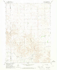
Other maps of this area
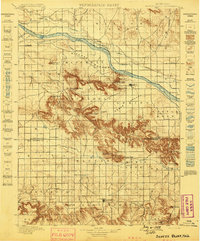
1898 · Scotts Bluff
USGS Topo · 1:125,000
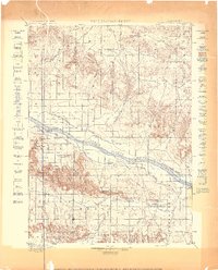
1898 · Camp Clarke
USGS Topo · 1:125,000

1954 · Scottsbluff
USGS Topo · 1:250,000

1958 · Scottsbluff
USGS Topo · 1:250,000
1965 · Minatare
USGS Topo · 1:24,000
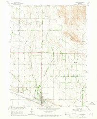
1965 · Bayard
USGS Topo · 1:24,000
1965 · Bayard NE
USGS Topo · 1:24,000

1965 · South Bayard
USGS Topo · 1:24,000
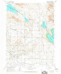
1965 · Lake Alice
USGS Topo · 1:24,000
1965 · McGrew
USGS Topo · 1:24,000