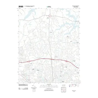
2010 Map of Bayleaf
USGS Topo · Published 2010About this map
Falls Lake dominates the northern landscape of this North Carolina quadrangle, where the Neuse River feeds into its expansive waters near the Penny-Hester Bridge. The suburban expansion north of Raleigh is evident in the dense residential street networks surrounding established hubs like Leesville, Six Forks, and Bayleaf. These communities are defined by a complex hydrology of small creeks and private reservoirs, including Upper Barton Creek and Lower Barton Creek, which are segmented by numerous small-scale engineering projects such as the Stonebridge Dam and Poole Lake Dam.
Find a feature on this map
57 named features on this map. Tap any name to fly to it.
Don’t see what you’re looking for? This feature index may not catch every label — zoom into the map to look around manually.
Map Details
Editions of this 2010 Bayleaf Map
This is the sole edition of this map. No revisions or reprints were ever made.
Other maps of this area

1943 · Durham South
USGS Topo · 1:62,500

1943 · Raleigh
USGS Topo · 1:62,500

1943 · Creedmoor
USGS Topo · 1:62,500

1944 · Creedmoor
USGS Topo · 1:62,500

1951 · Raleigh
USGS Topo · 1:62,500

1951 · Durham South
USGS Topo · 1:62,500

1951 · Durham North
USGS Topo · 1:62,500

1953 · Raleigh
USGS Topo · 1:250,000

1953 · Greensboro
USGS Topo · 1:250,000

1954 · Greensboro
USGS Topo · 1:250,000