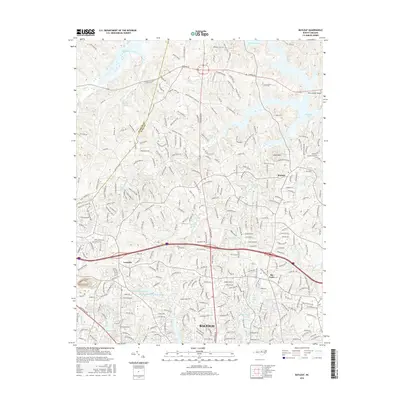
2016 Map of Bayleaf
USGS Topo · Published 2016About this map
Bayleaf and its surroundings in northern Wake County reveal a landscape transitioning from rural crossroads to residential expansion. The community of Leesville sits near the western boundary, while Six Forks serves as a focal point further east. This area is defined by a dense network of residential streets and arterial roads like Edsel Dr, reflecting the northward growth of Raleigh. Spiritual and local history centers on landmarks such as Bayleaf Ch and Mount Vernon Ch, which anchor long-established rural routes.
Find a feature on this map
311 named features on this map. Tap any name to fly to it.
Don’t see what you’re looking for? This feature index may not catch every label — zoom into the map to look around manually.
Map Details
Editions of this 2016 Bayleaf Map
This is the sole edition of this map. No revisions or reprints were ever made.
Other maps of this area

1943 · Durham South
USGS Topo · 1:62,500

1943 · Raleigh
USGS Topo · 1:62,500

1943 · Creedmoor
USGS Topo · 1:62,500

1944 · Creedmoor
USGS Topo · 1:62,500

1951 · Raleigh
USGS Topo · 1:62,500

1951 · Durham South
USGS Topo · 1:62,500

1951 · Durham North
USGS Topo · 1:62,500

1953 · Raleigh
USGS Topo · 1:250,000

1953 · Greensboro
USGS Topo · 1:250,000

1954 · Greensboro
USGS Topo · 1:250,000