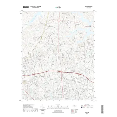
2019 Map of Bayleaf
USGS Topo · Published 2019About this map
Raleigh's northern expansion is evident across this modern landscape, where the suburban reaches of the city meet the rolling terrain of northern Wake County. The map details the transition from established neighborhoods near Six Forks and Leesville to the more open areas around Bayleaf. Significant hydrological features include Brinkley Lake and Mitchell Pond, while numerous small watercourses like Lick Cr and Hare Snipe Cr drain the watershed.
Find a feature on this map
318 named features on this map. Tap any name to fly to it.
Don’t see what you’re looking for? This feature index may not catch every label — zoom into the map to look around manually.
Map Details
Editions of this 2019 Bayleaf Map
This is the sole edition of this map. No revisions or reprints were ever made.
Other maps of this area

1943 · Durham South
USGS Topo · 1:62,500

1943 · Raleigh
USGS Topo · 1:62,500

1943 · Creedmoor
USGS Topo · 1:62,500

1944 · Creedmoor
USGS Topo · 1:62,500

1951 · Raleigh
USGS Topo · 1:62,500

1951 · Durham South
USGS Topo · 1:62,500

1951 · Durham North
USGS Topo · 1:62,500

1953 · Raleigh
USGS Topo · 1:250,000

1953 · Greensboro
USGS Topo · 1:250,000

1954 · Greensboro
USGS Topo · 1:250,000