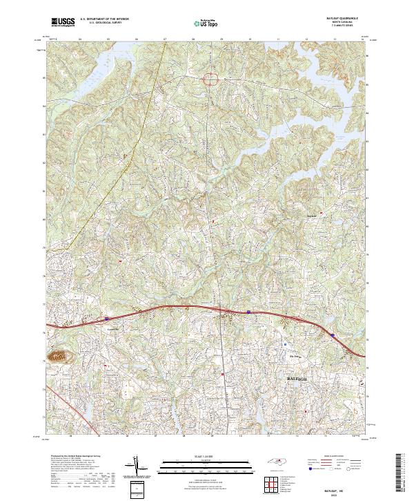
2022 Map of Bayleaf
USGS Topo · Published 2022About this map
Raleigh's suburban expansion north into the Piedmont is clearly visible in this contemporary topographical view, where the headwaters of the Neuse River and several creek systems define the local landscape. The map details the transition from the city's denser northern reaches around Six Forks to the established residential communities of Bayleaf and Leesville. Local institutions like Mount Vernon Church, Bayleaf Church, and Ebenezer Church serve as historical anchors amidst a modern network of winding roads and planned neighborhoods. The terrain is marked by significant water features, including Brinkley Lake and Mitchell Pond, which are fed by the branches of Upper Barton Creek and Lower Barton Creek. Notable landmarks such as Adam Mtn and the broad Salisbury Plain provide topographic variety to this area of northern Wake County, showcasing the local drainage patterns into the nearby river system.
Find a feature on this map
308 named features on this map. Tap any name to fly to it.
Don’t see what you’re looking for? This feature index may not catch every label — zoom into the map to look around manually.
Map Details
Editions of this 2022 Bayleaf Map
This is the sole edition of this map. No revisions or reprints were ever made.
Other maps of this area

1943 · Durham South
USGS Topo · 1:62,500

1943 · Raleigh
USGS Topo · 1:62,500

1943 · Creedmoor
USGS Topo · 1:62,500

1944 · Creedmoor
USGS Topo · 1:62,500

1951 · Raleigh
USGS Topo · 1:62,500

1951 · Durham South
USGS Topo · 1:62,500

1951 · Durham North
USGS Topo · 1:62,500

1953 · Raleigh
USGS Topo · 1:250,000

1953 · Greensboro
USGS Topo · 1:250,000

1954 · Greensboro
USGS Topo · 1:250,000