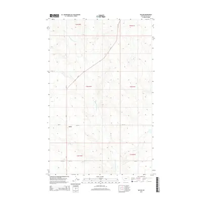
2014 Map of Baylor
USGS Topo · Published 2014About this map
Baylor serves as the central focal point of this Valley County landscape, positioned along the north-south corridor of MT-24. The surrounding terrain is defined by the winding course of the Middle Fork Porcupine Cr, which meanders through the central and western sections of the township. In the southeast, the drainage of Bog Cr cuts through the shortgrass prairie, illustrating the drainage patterns vital to this high plains region.
Find a feature on this map
17 named features on this map. Tap any name to fly to it.
Don’t see what you’re looking for? This feature index may not catch every label — zoom into the map to look around manually.
Map Details
Editions of this 2014 Baylor Map
This is the sole edition of this map. No revisions or reprints were ever made.
Other maps of this area

1919 · Boundary
USGS Topo · 1:125,000

1954 · Glasgow
USGS Topo · 1:250,000

1957 · Glasgow
USGS Topo · 1:250,000

1958 · Glasgow
USGS Topo · 1:250,000

1973 · Baylor SE
USGS Topo · 1:24,000

1973 · Glentana West
USGS Topo · 1:24,000

1973 · Baylor NE
USGS Topo · 1:24,000

1973 · Baylor
USGS Topo · 1:24,000

1973 · Opheim
USGS Topo · 1:24,000

1973 · Cameron Point
USGS Topo · 1:24,000