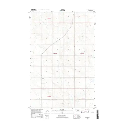
2017 Map of Baylor
USGS Topo · Published 2017About this map
Baylor serves as the central point of this rural Valley County landscape, situated along a junction where the open prairie meets the drainage of the Middle Fork Porcupine Cr. The map reveals a highly structured grid of land management and transportation, characteristic of the northern plains, where local passage relies on a network of named section-line roads. Many of these routes, such as Honrud Rd, Asleson Rd, and Ruffcorn Rd, preserve the surnames of early homesteaders and ranching families who settled the region. The drainage of Middle Fork Porcupine Cr carves a winding path through the township boundaries of T34N and T33N, creating the primary topographic variation in an area otherwise defined by wide-ranging agricultural and grazing lands.
Find a feature on this map
15 named features on this map. Tap any name to fly to it.
Don’t see what you’re looking for? This feature index may not catch every label — zoom into the map to look around manually.
Map Details
Editions of this 2017 Baylor Map
This is the sole edition of this map. No revisions or reprints were ever made.
Other maps of this area

1919 · Boundary
USGS Topo · 1:125,000

1954 · Glasgow
USGS Topo · 1:250,000

1957 · Glasgow
USGS Topo · 1:250,000

1958 · Glasgow
USGS Topo · 1:250,000

1973 · Baylor SE
USGS Topo · 1:24,000

1973 · Glentana West
USGS Topo · 1:24,000

1973 · Baylor NE
USGS Topo · 1:24,000

1973 · Baylor
USGS Topo · 1:24,000

1973 · Opheim
USGS Topo · 1:24,000

1973 · Cameron Point
USGS Topo · 1:24,000