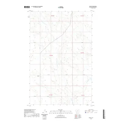
2020 Map of Baylor
USGS Topo · Published 2020About this map
Baylor serves as a central point in this northern Montana landscape, where the grain-farming and ranching heritage of Valley County is etched into a grid of rural roads. The area's hydrology is defined by the winding Middle Fork Porcupine Cr, which cuts through the high plains alongside smaller drainage systems like Bog Cr. This survey illustrates a quiet, expansive agricultural community organized around family-named routes such as Asleson Rd, Honrud Rd, and Ruffcorn Rd. These road names often correlate with early homesteading families who settled the region under various land acts. The landscape remains relatively open and sparsely populated, with the small settlement of Baylor providing a focal point for the surrounding township and range sections.
Find a feature on this map
16 named features on this map. Tap any name to fly to it.
Don’t see what you’re looking for? This feature index may not catch every label — zoom into the map to look around manually.
Map Details
Editions of this 2020 Baylor Map
This is the sole edition of this map. No revisions or reprints were ever made.
Other maps of this area
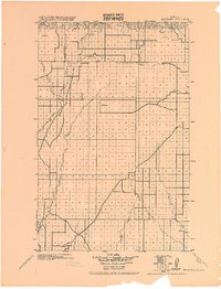
1919 · Boundary
USGS Topo · 1:125,000

1954 · Glasgow
USGS Topo · 1:250,000

1957 · Glasgow
USGS Topo · 1:250,000

1958 · Glasgow
USGS Topo · 1:250,000
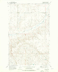
1973 · Baylor SE
USGS Topo · 1:24,000
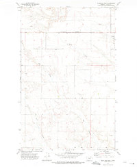
1973 · Glentana West
USGS Topo · 1:24,000
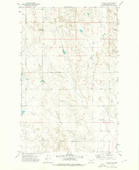
1973 · Baylor NE
USGS Topo · 1:24,000
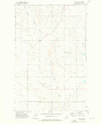
1973 · Baylor
USGS Topo · 1:24,000
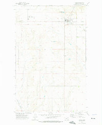
1973 · Opheim
USGS Topo · 1:24,000
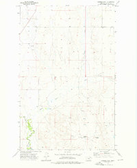
1973 · Cameron Point
USGS Topo · 1:24,000