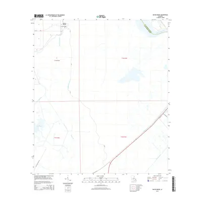
2015 Map of Bayou Boeuf
USGS Topo · Published 2015About this map
Kraemer Bridge serves as a focal point in this 2015 survey of the wetland-rich interface between St. Charles Parish and Lafourche Parish. The landscape is dominated by an intricate drainage and navigation system, featuring the wide waters of Lake Boeuf and the winding Bayou Chactimahan. These natural waterways are augmented by industrial-era engineering projects like the Bowie Canal, Midway Canal, and Godchaux Canal, which cut through the low-lying terrain to manage water levels and facilitate transport. Along the eastern edge, the Bayou des Allemands flows near Dufrene Ponds, illustrating the complex hydrology of the coastal Louisiana basin. This map documents the modern infrastructure of the region, including La-307 and Highway 182, providing a clear view of how human activity and hydraulic engineering have shaped these wetlands.
Find a feature on this map
19 named features on this map. Tap any name to fly to it.
Don’t see what you’re looking for? This feature index may not catch every label — zoom into the map to look around manually.
Map Details
Editions of this 2015 Bayou Boeuf Map
This is the sole edition of this map. No revisions or reprints were ever made.
Other maps of this area

1891 · Hahnville
USGS Topo · 1:62,500

1892 · Lac Des Allemands
USGS Topo · 1:62,500

1892 · Cut-Off
USGS Topo · 1:62,500

1892 · Houma
USGS Topo · 1:62,500

1932 · Lac Des Allemands NW
USGS Topo · 1:31,680

1932 · Lac Des Allemands SE
USGS Topo · 1:31,680

1932 · Lac Des Allemands SW
USGS Topo · 1:31,680

1932 · Houma NE
USGS Topo · 1:31,680

1932 · Houma NW
USGS Topo · 1:31,680

1932 · Hahnville NW
USGS Topo · 1:31,680