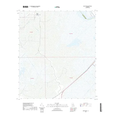
2018 Map of Bayou Boeuf
USGS Topo · Published 2018About this map
Bayou Boeuf and its namesake settlement define this stretch of the Louisiana wetlands, where the intricate drainage of Lafourche Parish meets the St. Charles Parish line. This landscape is characterized by a dense network of watercourses and man-made waterways, including the Bowie Canal, Midway Canal, and Godchaux Canal, which reveal the intensive hydrologic management of the region's low-lying terrain. The transition from open water to marsh is visible near Lake Boeuf and the Baie Des Deux Chenes, while the Kraemer Bridge serves as a vital local landmark for navigation and crossing. To the east, the wide path of the Bayou des Allemands provides a major arterial route through the wetlands, reflecting the enduring reliance on these natural and improved channels for local transit and industry.
Find a feature on this map
16 named features on this map. Tap any name to fly to it.
Don’t see what you’re looking for? This feature index may not catch every label — zoom into the map to look around manually.
Map Details
Editions of this 2018 Bayou Boeuf Map
This is the sole edition of this map. No revisions or reprints were ever made.
Other maps of this area

1891 · Hahnville
USGS Topo · 1:62,500

1892 · Lac Des Allemands
USGS Topo · 1:62,500

1892 · Cut-Off
USGS Topo · 1:62,500

1892 · Houma
USGS Topo · 1:62,500

1932 · Lac Des Allemands NW
USGS Topo · 1:31,680

1932 · Lac Des Allemands SE
USGS Topo · 1:31,680

1932 · Lac Des Allemands SW
USGS Topo · 1:31,680

1932 · Houma NE
USGS Topo · 1:31,680

1932 · Houma NW
USGS Topo · 1:31,680

1932 · Hahnville NW
USGS Topo · 1:31,680