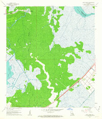
1962 Map of Bayou Boeuf
USGS Topo · Published 1963About this map
Bayou Boeuf (Kraemer PO) serves as the primary settlement in this early 1960s landscape, positioned where the firm ground of Coteau Pistolet meets the extensive marshlands of the Louisiana interior. The community life of the era is centered around St Lawrence Ch and a nearby Cem, with homes lining the banks of Bayou L'Ours. The map documents a period of significant industrial and infrastructural transition, most notably through the Southern Pacific railroad line cutting through the southeastern corner of the quadrangle. Extensive water management is evident in the network of man-made waterways like the Boeuf Gas Field Canal and Midway Canal, which support the local Gas Wells. Large expanses of water, including Lake Boeuf and the Baie Des Deux Chenes, dominate the territory, illustrating the deep reliance on both bayous and canals for navigation and industry.
Find a feature on this map
18 named features on this map. Tap any name to fly to it.
Don’t see what you’re looking for? This feature index may not catch every label — zoom into the map to look around manually.
Map Details
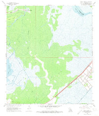
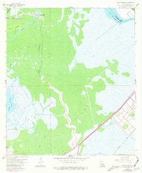
Editions of this 1962 Bayou Boeuf Map
3 editions found
Other maps of this area

1891 · Hahnville
USGS Topo · 1:62,500

1892 · Lac Des Allemands
USGS Topo · 1:62,500

1892 · Cut-Off
USGS Topo · 1:62,500

1892 · Houma
USGS Topo · 1:62,500

1932 · Lac Des Allemands NW
USGS Topo · 1:31,680

1932 · Lac Des Allemands SE
USGS Topo · 1:31,680

1932 · Lac Des Allemands SW
USGS Topo · 1:31,680

1932 · Houma NE
USGS Topo · 1:31,680

1932 · Houma NW
USGS Topo · 1:31,680

1932 · Hahnville NW
USGS Topo · 1:31,680