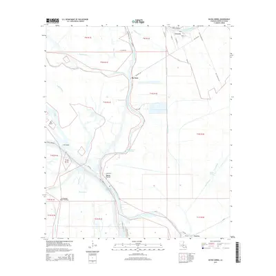
2015 Map of Bayou Sorrel
USGS Topo · Published 2015About this map
The Atchafalaya Basin Floodway dominates this Iberville Parish landscape, where the labyrinthine waterways of the Louisiana delta are managed through an extensive network of canals and levees. Small communities such as Bayou Sorrel and Crescent occupy the high ground along the winding banks of Bayou Plaquemine and the Lower Grand River. This area represents a critical intersection of natural bayous and industrial navigation, most notably where the Gulf Intracoastal Waterway cuts through the basin.
Find a feature on this map
49 named features on this map. Tap any name to fly to it.
Don’t see what you’re looking for? This feature index may not catch every label — zoom into the map to look around manually.
Map Details
Editions of this 2015 Bayou Sorrel Map
This is the sole edition of this map. No revisions or reprints were ever made.
Other maps of this area

1908 · Baton Rouge
USGS Topo · 1:62,500

1935 · Chicot Lake
USGS Topo · 1:62,500

1936 · White Castle
USGS Topo · 1:62,500

1939 · Baton Rouge
USGS Topo · 1:62,500

1940 · Grosse Tete
USGS Topo · 1:62,500

1953 · Crescent
USGS Topo · 1:24,000

1953 · Plaquemine
USGS Topo · 1:24,000

1953 · Pigeon Bay
USGS Topo · 1:24,000

1953 · Addis
USGS Topo · 1:24,000

1953 · Grosse Tete SW
USGS Topo · 1:24,000