
1953 Map of Addis
USGS Topo · Published 1954About this map
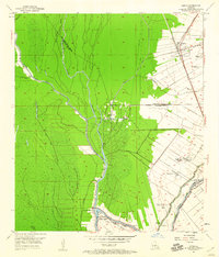
The low-lying lands of the West Baton Rouge Parish and Iberville Parish line are defined here by a complex web of bayous and industrial development. This mid-century landscape is dominated by the linear patterns of established agriculture, including the Myrtle Grove Plantation, Star Plantation, and Enterprise Plantation, which contrast with the sprawling Oil Field and pipe lines to the west. The Texas and Pacific railroad forms a primary corridor through Addis, connecting smaller settlements like St Delphine and Chenango. Deep in the swampy interior, the meandering Bayou Grosse Tete and Bayou Choctaw navigate a terrain of spoil banks and narrow waterways, while the Intracoastal Waterway cuts a straight path toward the river town of Plaquemine. For genealogists, the map preserves the locations of the Grosse Tete Bay Sch, Island Sch, and the Little Zion Ch near Indian Village.
Find a feature on this map
27 named features on this map. Tap any name to fly to it.
Don’t see what you’re looking for? This feature index may not catch every label — zoom into the map to look around manually.
Map Details
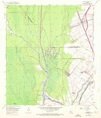
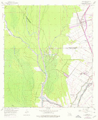
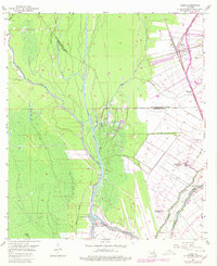
Editions of this 1953 Addis Map
5 editions found
Other maps of this area

1908 · Baton Rouge
USGS Topo · 1:62,500

1935 · Chicot Lake
USGS Topo · 1:62,500

1936 · White Castle
USGS Topo · 1:62,500

1939 · Baton Rouge
USGS Topo · 1:62,500

1940 · Grosse Tete
USGS Topo · 1:62,500

1953 · Baton Rouge West
USGS Topo · 1:24,000

1953 · Crescent
USGS Topo · 1:24,000

1953 · Plaquemine
USGS Topo · 1:24,000

1953 · Lobdell
USGS Topo · 1:24,000

1953 · Pigeon Bay
USGS Topo · 1:24,000