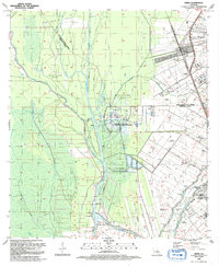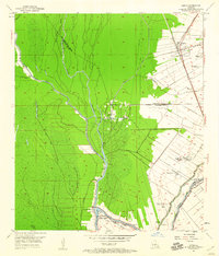
1953 Map of Addis
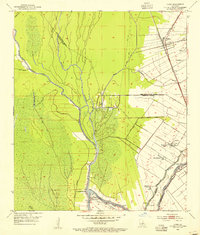
USGS Topo · Published 1960About this map
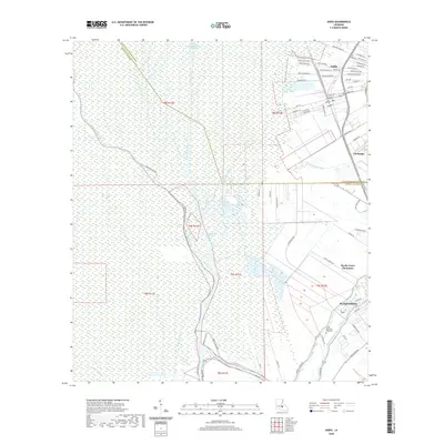
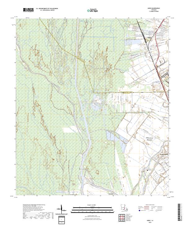
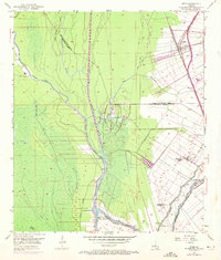
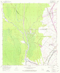
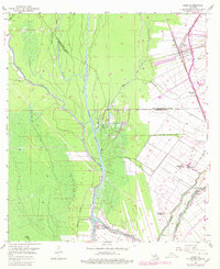
Myrtle Grove Plantation, Star Plantation, and Enterprise Plantation define the agricultural landscape of the mid-1950s along the western bank of the Mississippi River corridor. The map captures a transition between the established plantation tracts and the industrializing wetlands, where an Oil Field, Oil Wells, and the Intracoastal Waterway reveal the region's mid-century economic shift. The northern settlement of Addis serves as a key transit point, where the Texas and Pacific railroad lines intersect, supporting the movement of goods through West Baton Rouge Parish. To the south, Indian Village and the outskirts of Plaquemine sit at the confluence of several waterways, including Bayou Grosse Tete and Bayou Plaquemine. Local community life is rooted in sites like Little Zion Ch, Island Sch, and the Grosse Tete Bay School, which served the rural population nestled between the bayous and the backwater swamps.
Find a feature on this map
29 named features on this map. Tap any name to fly to it.
Don’t see what you’re looking for? This feature index may not catch every label — zoom into the map to look around manually.
Map Details
Editions of this 1953 Addis Map
5 editions found
Historical Maps of Plaquemine Through Time
7 maps found