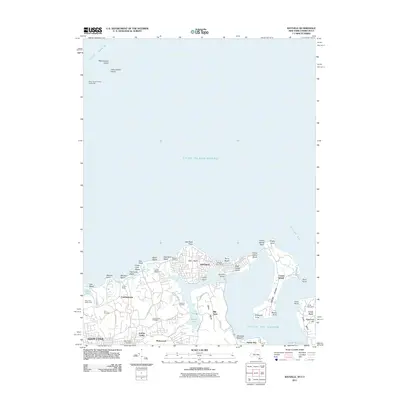
2011 Map of Bayville
USGS Topo · Published 2011About this map
Oak Neck and the surrounding North Shore communities define this 2011 survey of the Gold Coast. The village of Bayville sits atop the peninsula, connected to the mainland by the Bayville Bridge spanning Mill Neck Creek. This landscape is marked by substantial private estates and shore clubs, including the Gebbs Estate and Guther Estate, which reflect the area's long history as a residential enclave for the prominent.
Find a feature on this map
66 named features on this map. Tap any name to fly to it.
Don’t see what you’re looking for? This feature index may not catch every label — zoom into the map to look around manually.
Map Details
Editions of this 2011 Bayville Map
This is the sole edition of this map. No revisions or reprints were ever made.
Other maps of this area

1892 · Stamford
USGS Topo · 1:62,500

1892 · Norwalk
USGS Topo · 1:62,500

1893 · Stamford
USGS Topo · 1:62,500

1893 · Norwalk
USGS Topo · 1:62,500

1897 · Oyster Bay
USGS Topo · 1:62,500

1898 · Oyster Bay
USGS Topo · 1:62,500

1899 · Stamford
USGS Topo · 1:62,500

1900 · Oyster Bay
USGS Topo · 1:62,500

1901 · Northport
USGS Topo · 1:62,500

1903 · Northport
USGS Topo · 1:62,500