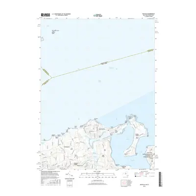
2016 Map of Bayville
USGS Topo · Published 2016About this map
The North Shore of Long Island is defined here by the intricate coastline of Oyster Bay Harbor and the residential enclaves of Nassau County. This survey shows the modern layout of Bayville and Locust Valley, where established estates and private clubs meet the waters of Long Island Sound. A focal point of local heritage is the Sagamore Hill National Historic Site on Cove Neck, the former home of Theodore Roosevelt. The map details the complex geography of the waterfront, including the Bayville Bridge connecting to the mainland and the distinct shoreline at Peacock Point and Centre Island. Scattered among the wooded hills and suburban developments are several small burial grounds, such as Pratt Cem and Underhill Cem, which provide tangible links to the families who shaped these communities. The interior landscape is marked by natural preserves like Shu Swamp and water bodies including Beaver Lake and Kentuck Pond.
Find a feature on this map
114 named features on this map. Tap any name to fly to it.
Don’t see what you’re looking for? This feature index may not catch every label — zoom into the map to look around manually.
Map Details
Editions of this 2016 Bayville Map
This is the sole edition of this map. No revisions or reprints were ever made.
Other maps of this area

1892 · Stamford
USGS Topo · 1:62,500

1892 · Norwalk
USGS Topo · 1:62,500

1893 · Stamford
USGS Topo · 1:62,500

1893 · Norwalk
USGS Topo · 1:62,500

1897 · Oyster Bay
USGS Topo · 1:62,500

1898 · Oyster Bay
USGS Topo · 1:62,500

1899 · Stamford
USGS Topo · 1:62,500

1900 · Oyster Bay
USGS Topo · 1:62,500

1901 · Northport
USGS Topo · 1:62,500

1903 · Northport
USGS Topo · 1:62,500