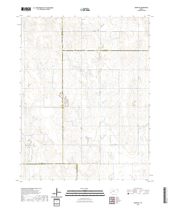
2022 Map of Bazine SE
USGS Topo · Published 2022About this map
The convergence of four Kansas counties defines this agricultural landscape, where the borders of Ness, Rush, Hodgeman, and Pawnee counties meet. The terrain is organized by a strict section-line grid, exemplified by thoroughfares like Ave X and CR 100 Ness Ct Line. This geometric partitioning of the land reflects the enduring influence of the Public Land Survey System on the High Plains, where townships like t20s r20w are bisected by long-standing transit corridors such as Alexander Rd. The presence of Correction Line Rd in the southern portion of the map highlights the surveying adjustments necessary to account for the earth's curvature, a detail of particular interest to land-use researchers and historical geographers.
Find a feature on this map
21 named features on this map. Tap any name to fly to it.
Don’t see what you’re looking for? This feature index may not catch every label — zoom into the map to look around manually.
Map Details
Editions of this 2022 Bazine SE Map
This is the sole edition of this map. No revisions or reprints were ever made.
Other maps of this area

1889 · Larned
USGS Topo · 1:125,000

1891 · Larned
USGS Topo · 1:125,000

1892 · Ness
USGS Topo · 1:125,000

1894 · Ness
USGS Topo · 1:125,000

1955 · Great Bend
USGS Topo · 1:250,000

1957 · Great Bend
USGS Topo · 1:250,000

1958 · Great Bend
USGS Topo · 1:250,000

1966 · Alexander
USGS Topo · 1:24,000

1966 · Nekoma
USGS Topo · 1:24,000
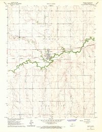
1966 · Bazine
USGS Topo · 1:24,000