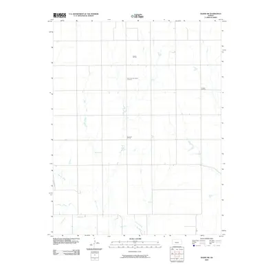
2009 Map of Bazine SW
USGS Topo · Published 2009About this map
The Pawnee River and Sand Creek carve through the agricultural landscape of Ness County in this 2009 survey, illustrating the persistence of rural landmarks in western Kansas. The map focuses on a region defined by its energy production and historical markers, notably the Schaben Oil Field and the Bondurant Oil Field. These industrial sites sit alongside quieter spaces of local heritage, including the Saint John the Baptist Cemetery and Crandall Cemetery. The topography reveals a network of section roads that organize the high plains, providing a detailed view of how geography and industry intersect in this part of the state at the end of the decade.
Find a feature on this map
6 named features on this map. Tap any name to fly to it.
Don’t see what you’re looking for? This feature index may not catch every label — zoom into the map to look around manually.
Map Details
Editions of this 2009 Bazine SW Map
This is the sole edition of this map. No revisions or reprints were ever made.
Other maps of this area

1892 · Ness
USGS Topo · 1:125,000

1894 · Ness
USGS Topo · 1:125,000

1955 · Great Bend
USGS Topo · 1:250,000

1957 · Great Bend
USGS Topo · 1:250,000

1958 · Great Bend
USGS Topo · 1:250,000

1966 · Alexander
USGS Topo · 1:24,000

1966 · Ness City NE
USGS Topo · 1:24,000
1966 · Bazine
USGS Topo · 1:24,000

1970 · Hanston NW
USGS Topo · 1:24,000

1970 · Jetmore NE
USGS Topo · 1:24,000