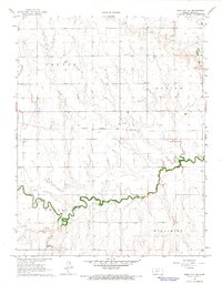
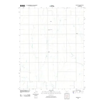
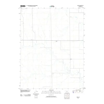
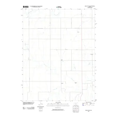
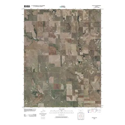
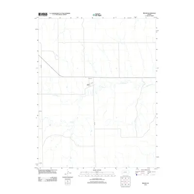
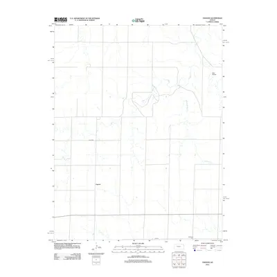
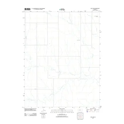
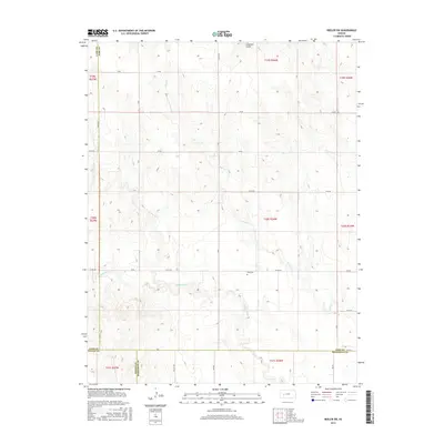
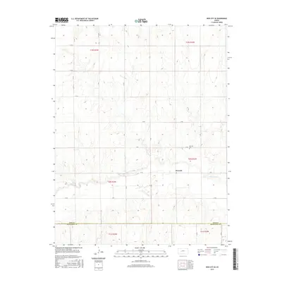
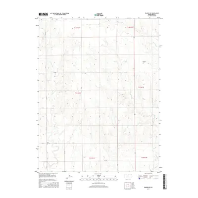
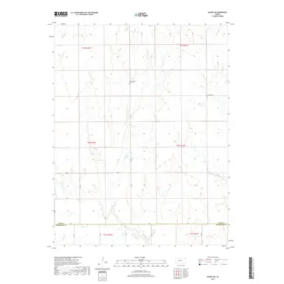
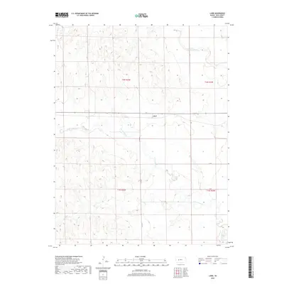
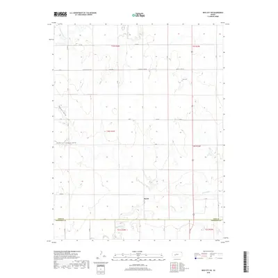
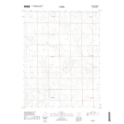
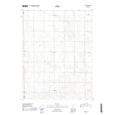
1966 Map of Ness City NE
USGS Topo · Published 1967About this map
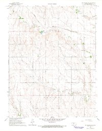
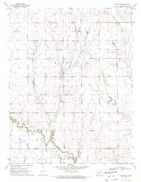
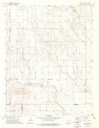
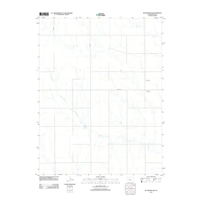
Walnut Creek meanders deeply across the southern half of this mid-1960s survey, defining the agricultural landscape where the townships of Franklin and Highpoint meet. The region is marked by a clear transit-oriented layout, dominated by the long straight line of the Atchison Topeka and Santa Fe railroad corridor. This rail line cuts through the central townships of Center and Bazine, serving as the primary connection for the isolated farmsteads and rural infrastructure of Ness County. Local heritage is preserved in the presence of Fairview Cem and Chenoworth Cem, which stand as quiet markers of the area's early settlement. Minor industrial activity is noted through scattered resource extraction points, including a Sandpit and an Oil Well, illustrating the diversified rural economy that persisted alongside traditional ranching and farming during this era.
Find a feature on this map
12 named features on this map. Tap any name to fly to it.
Don’t see what you’re looking for? This feature index may not catch every label — zoom into the map to look around manually.
Map Details
Editions of this 1966 Ness City NE Map
This is the sole edition of this map. No revisions or reprints were ever made.
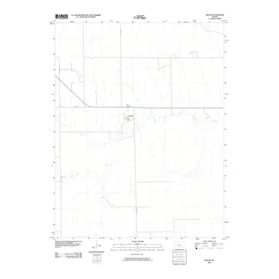
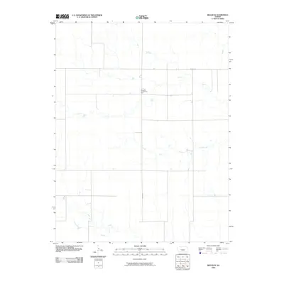
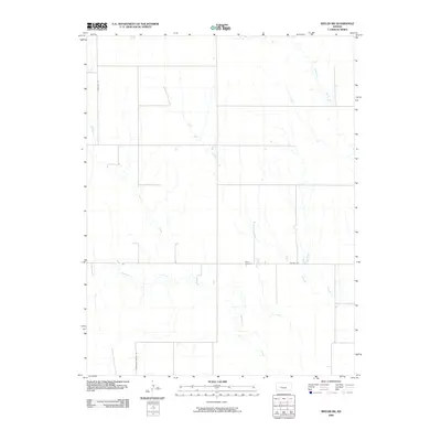
Historical Maps of Ness County Through Time
90 maps found
1965 Beeler
Ness County, KS
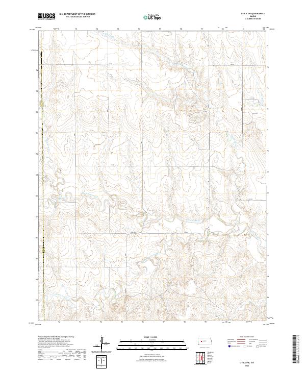
1965 Utica SW
Ness County, KS
1966 Laird
Ness County, KS
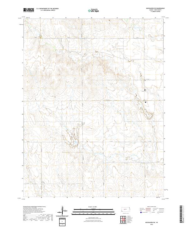
1966 Mc Cracken SW
Ness County, KS
1966 Ness City NE
Ness County, KS
1966 Ransom SE
Ness County, KS
1966 Ransom SW
Ness County, KS
1966 Utica SE
Ness County, KS
1970 Bazine SW
Ness County, KS
1970 Ness City SE
Ness County, KS
1970 Ness City SW
Ness County, KS
1974 Beeler SE
Ness County, KS
1974 Beeler SW
Ness County, KS
1980 Osgood
Ness County, KS
1981 Arnold
Ness County, KS
2009 Arnold
Ness County, KS
2009 Bazine SW
Ness County, KS
2009 Beeler
Ness County, KS
2009 Beeler SE
Ness County, KS
2009 Beeler SW
Ness County, KS
2009 Laird
Ness County, KS
2009 McCracken SW
Ness County, KS
2009 Ness City NE
Ness County, KS
2009 Ness City SE
Ness County, KS
2009 Ness City SW
Ness County, KS
2009 Osgood
Ness County, KS
2009 Ransom SE
Ness County, KS
2009 Ransom SW
Ness County, KS
2009 Utica SE
Ness County, KS
2009 Utica SW
Ness County, KS
2012 Arnold
Ness County, KS
2012 Bazine SW
Ness County, KS
2012 Beeler
Ness County, KS
2012 Beeler SE
Ness County, KS
2012 Beeler SW
Ness County, KS
2012 Laird
Ness County, KS
2012 McCracken SW
Ness County, KS
2012 Ness City NE
Ness County, KS
2012 Ness City SE
Ness County, KS
2012 Ness City SW
Ness County, KS
2012 Osgood
Ness County, KS
2012 Ransom SE
Ness County, KS
2012 Ransom SW
Ness County, KS
2012 Utica SE
Ness County, KS
2012 Utica SW
Ness County, KS
2015 Arnold
Ness County, KS
2015 Bazine SW
Ness County, KS
2015 Beeler
Ness County, KS

2015 Beeler SE
Ness County, KS
2015 Beeler SW
Ness County, KS
2015 Laird
Ness County, KS
2015 McCracken SW
Ness County, KS
2015 Ness City NE
Ness County, KS
2015 Ness City SE
Ness County, KS
2015 Ness City SW
Ness County, KS
2015 Osgood
Ness County, KS
2015 Ransom SE
Ness County, KS
2015 Ransom SW
Ness County, KS
2015 Utica SE
Ness County, KS
2015 Utica SW
Ness County, KS
2018 Arnold
Ness County, KS
2018 Bazine SW
Ness County, KS
2018 Beeler
Ness County, KS
2018 Beeler SE
Ness County, KS
2018 Beeler SW
Ness County, KS
2018 Laird
Ness County, KS
2018 McCracken SW
Ness County, KS
2018 Ness City NE
Ness County, KS
2018 Ness City SE
Ness County, KS
2018 Ness City SW
Ness County, KS
2018 Osgood
Ness County, KS
2018 Ransom SE
Ness County, KS
2018 Ransom SW
Ness County, KS
2018 Utica SE
Ness County, KS
2018 Utica SW
Ness County, KS
2022 Arnold
Ness County, KS
2022 Bazine SW
Ness County, KS
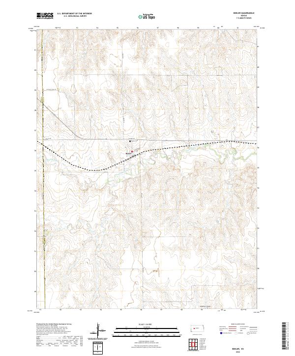
2022 Beeler
Ness County, KS
2022 Beeler SE
Ness County, KS
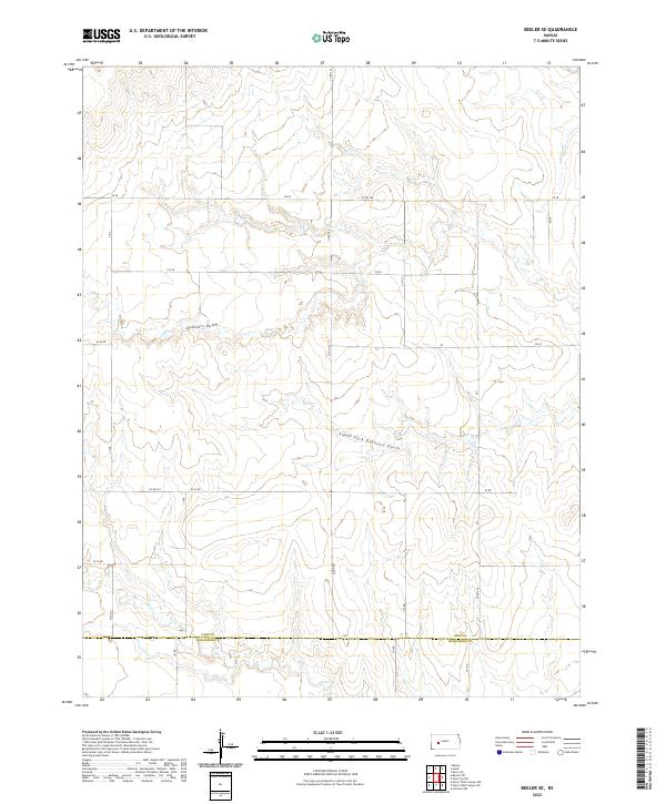
2022 Beeler SW
Ness County, KS
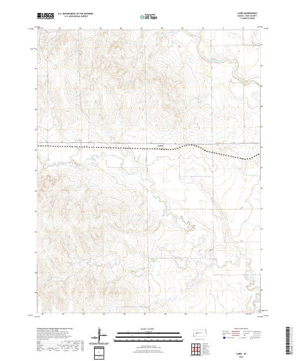
2022 Laird
Ness County, KS
2022 McCracken SW
Ness County, KS
2022 Ness City NE
Ness County, KS
2022 Ness City SE
Ness County, KS
2022 Ness City SW
Ness County, KS
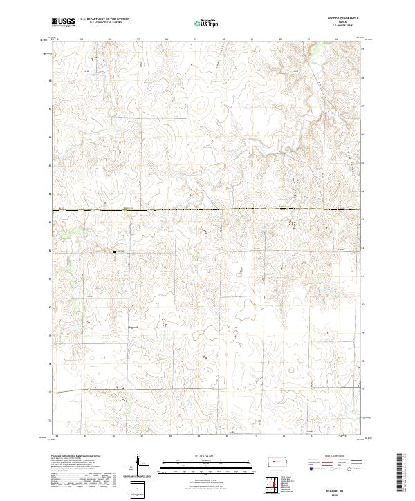
2022 Osgood
Ness County, KS
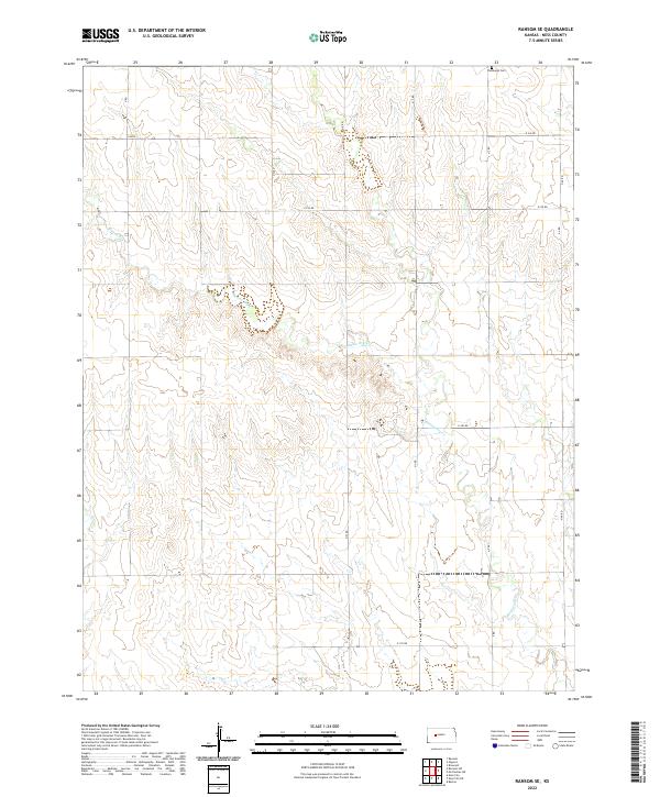
2022 Ransom SE
Ness County, KS
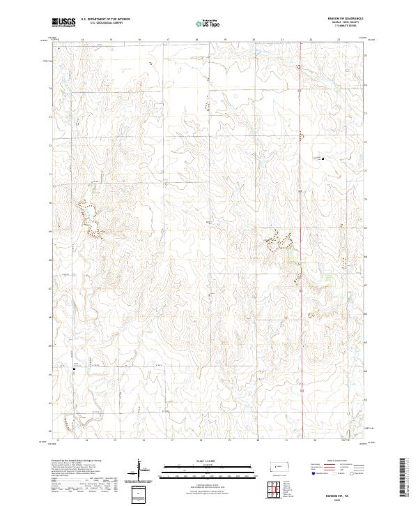
2022 Ransom SW
Ness County, KS
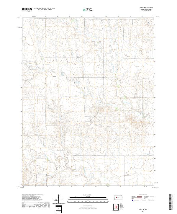
2022 Utica SE
Ness County, KS
2022 Utica SW
Ness County, KS