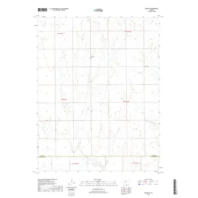
2018 Map of Bazine SW
USGS Topo · Published 2018About this map
The Pawnee River and Sand Cr define the drainage patterns of this rural landscape where Ness and Hodgeman counties meet. This 2018 survey documents a region defined by its section-line road network, including routes like Aa RD and Y RD, which segment the rolling plains. Cultural landmarks of genealogical significance include Saint John the Baptist Cem and Crandall Cem, which serve as quiet markers of the community's heritage amidst the agricultural terrain. The map detail reflects the persistence of traditional land divisions, from the northern reaches of Township 19 South to the southern boundary in Township 21 South, illustrating how the cadastral survey still governs the movement and settlement of this western Kansas prairie.
Find a feature on this map
22 named features on this map. Tap any name to fly to it.
Don’t see what you’re looking for? This feature index may not catch every label — zoom into the map to look around manually.
Map Details
Editions of this 2018 Bazine SW Map
This is the sole edition of this map. No revisions or reprints were ever made.
Other maps of this area

1892 · Ness
USGS Topo · 1:125,000

1894 · Ness
USGS Topo · 1:125,000

1955 · Great Bend
USGS Topo · 1:250,000

1957 · Great Bend
USGS Topo · 1:250,000

1958 · Great Bend
USGS Topo · 1:250,000

1966 · Alexander
USGS Topo · 1:24,000

1966 · Ness City NE
USGS Topo · 1:24,000
1966 · Bazine
USGS Topo · 1:24,000

1970 · Hanston NW
USGS Topo · 1:24,000

1970 · Jetmore NE
USGS Topo · 1:24,000