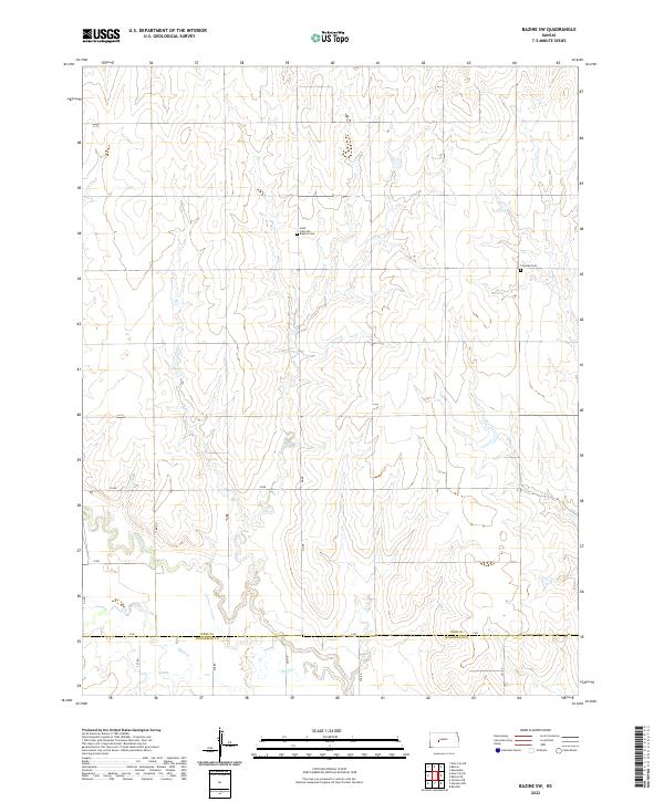
2022 Map of Bazine SW
USGS Topo · Published 2022About this map
The Pawnee River meanders across this rural section of the High Plains, carving a distinct valley through the section lines of western Kansas. This 2022 survey documents the border region between Ness Co and Hodgeman Co, where the landscape is defined by its agricultural grid and intermittent watercourses like Sand Cr. Cultural landmarks are largely focused on the area's pioneer roots and religious heritage, specifically the Saint John the Baptist Cem and Crandall Cem. The map illustrates a sparse settlement pattern common to this part of the state, where named roads like Y Rd and DD Rd serve as the primary lifelines between isolated farmsteads and the burial grounds that mark the region's history.
Find a feature on this map
23 named features on this map. Tap any name to fly to it.
Don’t see what you’re looking for? This feature index may not catch every label — zoom into the map to look around manually.
Map Details
Editions of this 2022 Bazine SW Map
This is the sole edition of this map. No revisions or reprints were ever made.
Other maps of this area

1892 · Ness
USGS Topo · 1:125,000

1894 · Ness
USGS Topo · 1:125,000

1955 · Great Bend
USGS Topo · 1:250,000

1957 · Great Bend
USGS Topo · 1:250,000

1958 · Great Bend
USGS Topo · 1:250,000

1966 · Alexander
USGS Topo · 1:24,000

1966 · Ness City NE
USGS Topo · 1:24,000
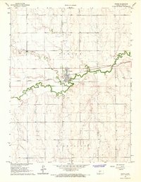
1966 · Bazine
USGS Topo · 1:24,000

1970 · Hanston NW
USGS Topo · 1:24,000

1970 · Jetmore NE
USGS Topo · 1:24,000