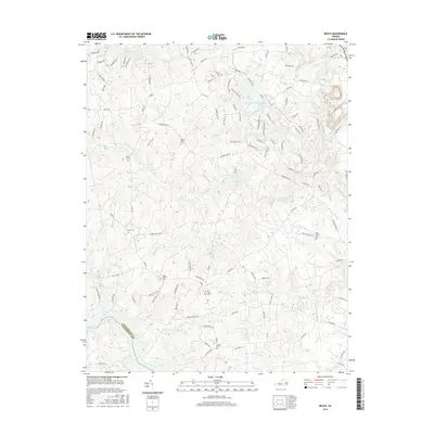
2016 Map of Beach
USGS Topo · Published 2016About this map
Lake Chesdin forms a prominent southwestern boundary along the Chesterfield and Dinwiddie county line, anchoring a landscape defined by its intricate drainage systems. Numerous family and community cemeteries, including Wilson Cem, Dahl Cem, and Oak Grove Cem, are scattered throughout the region, offering vital points of interest for genealogists researching local heritage. The settlement of Beach sits amidst a network of winding waterways such as Swift Creek and Cattail Cr, which feed into various impoundments like Crosstick Millpond, Lake Dale, and Lake Margaret. This modern survey illustrates the suburban transition of the area, where historical landmarks like the Mount Gilead and Union Branch burial grounds remain preserved within a growing residential framework of named roads and drives.
Find a feature on this map
115 named features on this map. Tap any name to fly to it.
Don’t see what you’re looking for? This feature index may not catch every label — zoom into the map to look around manually.
Map Details
Editions of this 2016 Beach Map
This is the sole edition of this map. No revisions or reprints were ever made.
Other maps of this area

1894 · Bermuda Hundred
USGS Topo · 1:62,500

1894 · Petersburg
USGS Topo · 1:62,500

1897 · Amelia
USGS Topo · 1:125,000

1938 · Drewrys Bluff
USGS Topo · 1:24,000

1943 · Chesterfield
USGS Topo · 1:31,680

1943 · Hallsboro
USGS Topo · 1:31,680

1943 · Beach
USGS Topo · 1:24,000

1943 · Church Road
USGS Topo · 1:24,000

1943 · Winterpock
USGS Topo · 1:24,000

1943 · Sutherland
USGS Topo · 1:24,000