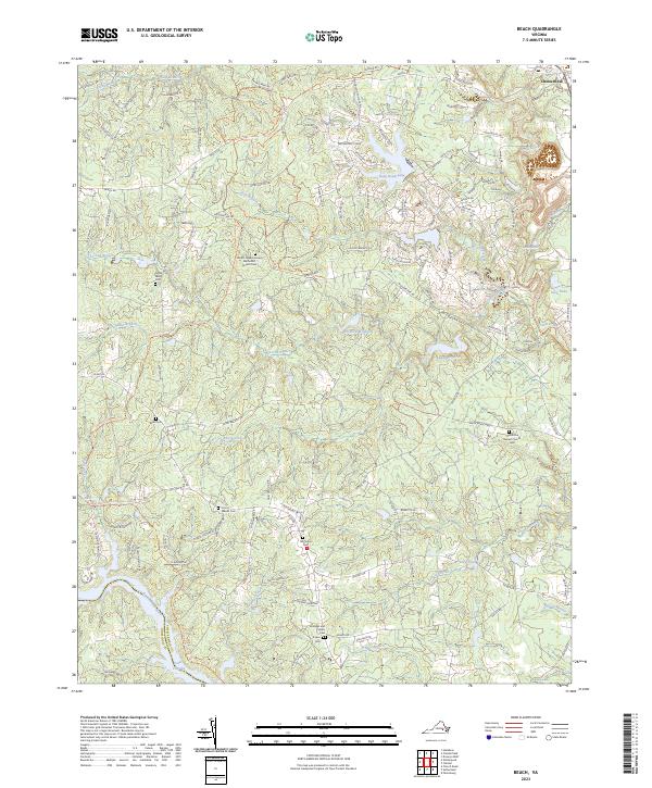
2023 Map of Beach
USGS Topo · Published 2023About this map
Chesterfield serves as the focal point for this survey of south-central Virginia, where the landscape is defined by the winding course of the Appomattox River and the expansive Lake Chesdin. The area's deep-rooted history is visible through a high concentration of family and community burial grounds, including the Mount Gilead United Methodist Church Cem and the Oak Grove Baptist Church Cem. These sites, alongside numerous smaller family plots like the Turner Family Cem and Andrews and Akers Cem, provide essential data for genealogical research.
Find a feature on this map
129 named features on this map. Tap any name to fly to it.
Don’t see what you’re looking for? This feature index may not catch every label — zoom into the map to look around manually.
Map Details
Editions of this 2023 Beach Map
This is the sole edition of this map. No revisions or reprints were ever made.
Other maps of this area

1894 · Bermuda Hundred
USGS Topo · 1:62,500

1894 · Petersburg
USGS Topo · 1:62,500

1897 · Amelia
USGS Topo · 1:125,000

1938 · Drewrys Bluff
USGS Topo · 1:24,000

1943 · Chesterfield
USGS Topo · 1:31,680

1943 · Hallsboro
USGS Topo · 1:31,680

1943 · Beach
USGS Topo · 1:24,000

1943 · Church Road
USGS Topo · 1:24,000

1943 · Winterpock
USGS Topo · 1:24,000

1943 · Sutherland
USGS Topo · 1:24,000