Loading...
Loading map...2023 Map of Beach Haven
USGS Topo · Published 2023About this map
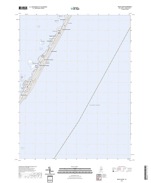
Long Beach Island serves as a narrow barrier between the open Atlantic Ocean and the sheltered waters of Little Egg Harbor. This coastal landscape is defined by a continuous string of shore communities, from Brant Beach in the north to Beach Haven at the southern tip. The gridiron street patterns, such as those along Centre St and Engleside Ave, illustrate the dense residential development that has come to characterize the island.
Find a feature on this map
45 named features on this map. Tap any name to fly to it.
Don’t see what you’re looking for? This feature index may not catch every label — zoom into the map to look around manually.
Map Details
Date Portrayed2023
Date Published2023
PublisherU.S. Geological Survey
Map TypeTopographic
Scale1:24000
Physical Dimensions24 x 29 inches
Editions of this 2023 Beach Haven Map
This is the sole edition of this map. No revisions or reprints were ever made.
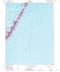
Historical Maps of Eagleswood Township Through Time
Featured Locations
Source Details
SourceU.S. Geological Survey
CopyrightPublic Domain