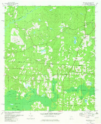
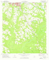
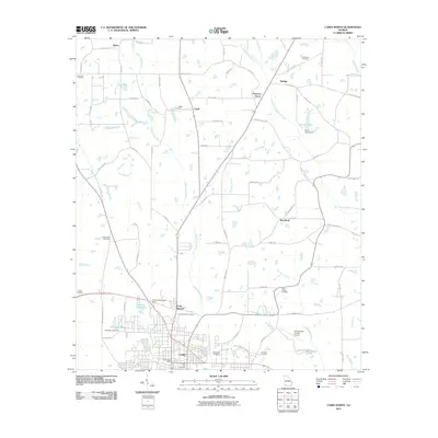
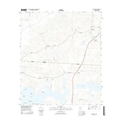
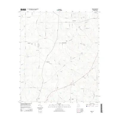
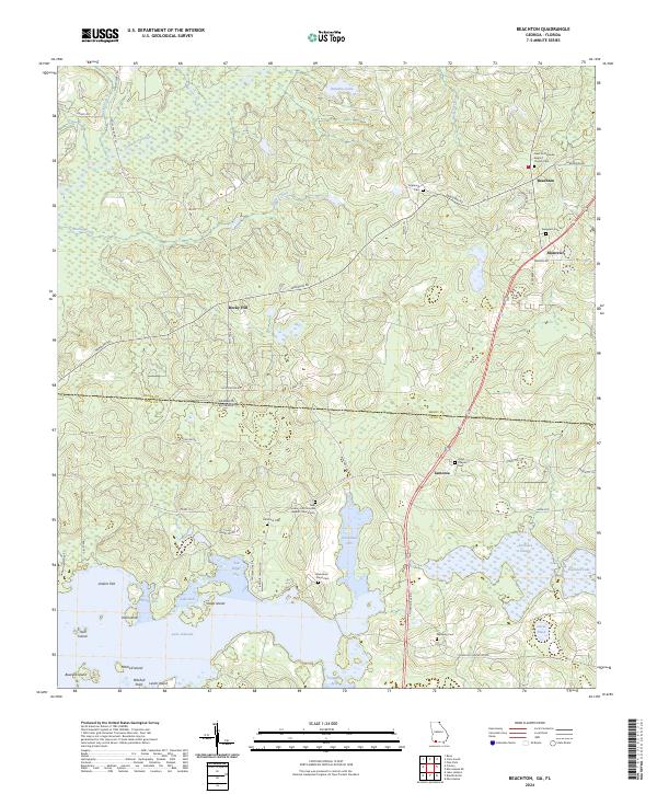
1982 Map of Beachton
USGS Topo · Published 1982About this map
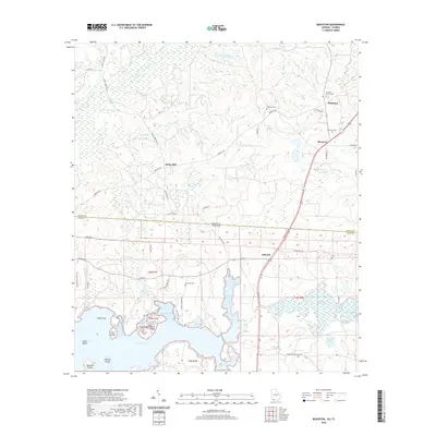
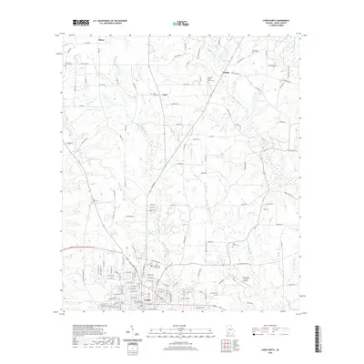
The Georgia Florida state line bisects this landscape, where the northern reaches of the Red Hills transition into the wetlands surrounding Lake Iamonia. This 1982 revision shows a rural environment deeply rooted in local family and church history, evidenced by a high density of small community landmarks like Hickory Hill Ch, Beth Page Ch, and Evergreen Ch. To the north, the Ochlockonee River meanders through Grady County, joined by tributaries such as Tired Creek and Wolf Creek. The southern half is dominated by the complex hydrology of the Foshalee Slough and the numerous named islands and arms of the lake, including Sheep Island and VanBrunt Arm. This area is characterized by large rural tracts and small settlements like Beachton and Iamonia, connected by historic routes such as the Watson Line.
Find a feature on this map
40 named features on this map. Tap any name to fly to it.
Don’t see what you’re looking for? This feature index may not catch every label — zoom into the map to look around manually.
Map Details
Editions of this 1982 Beachton Map
This is the sole edition of this map. No revisions or reprints were ever made.
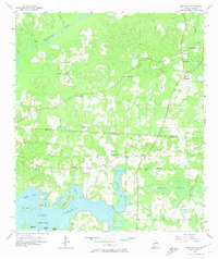
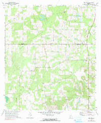
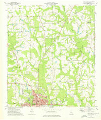
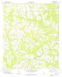
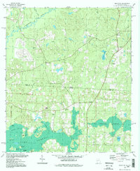
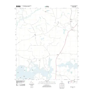
Historical Maps of Beachton Through Time
32 maps found
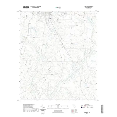
1957 Beachton
Grady County, GA
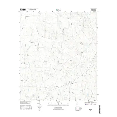
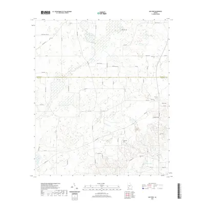
1971 Gee Pond
Grady County, GA
1974 Cairo North
Grady County, GA
1974 Cairo South
Grady County, GA
1974 Reno
Grady County, GA
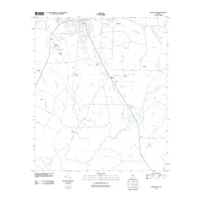
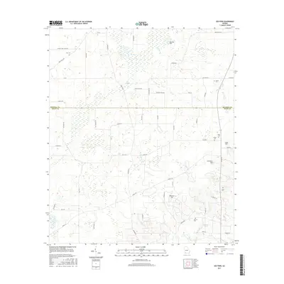
1982 Beachton
Grady County, GA
1994 Beachton
Grady County, GA
2011 Beachton
Grady County, GA
2011 Cairo North
Grady County, GA
2011 Cairo South
Grady County, GA
2011 Gee Pond
Grady County, GA
2011 Reno
Grady County, GA
2014 Beachton
Grady County, GA
2014 Cairo North
Grady County, GA
2014 Cairo South
Grady County, GA
2014 Gee Pond
Grady County, GA
2014 Reno
Grady County, GA
2017 Beachton
Grady County, GA
2017 Cairo North
Grady County, GA
2017 Cairo South
Grady County, GA
2017 Gee Pond
Grady County, GA
2017 Reno
Grady County, GA
2020 Beachton
Grady County, GA
2020 Cairo North
Grady County, GA
2020 Cairo South
Grady County, GA
2020 Gee Pond
Grady County, GA
2020 Reno
Grady County, GA
2024 Beachton
Grady County, GA
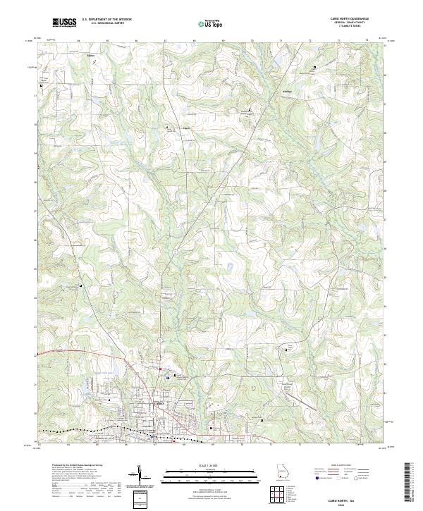
2024 Cairo North
Grady County, GA
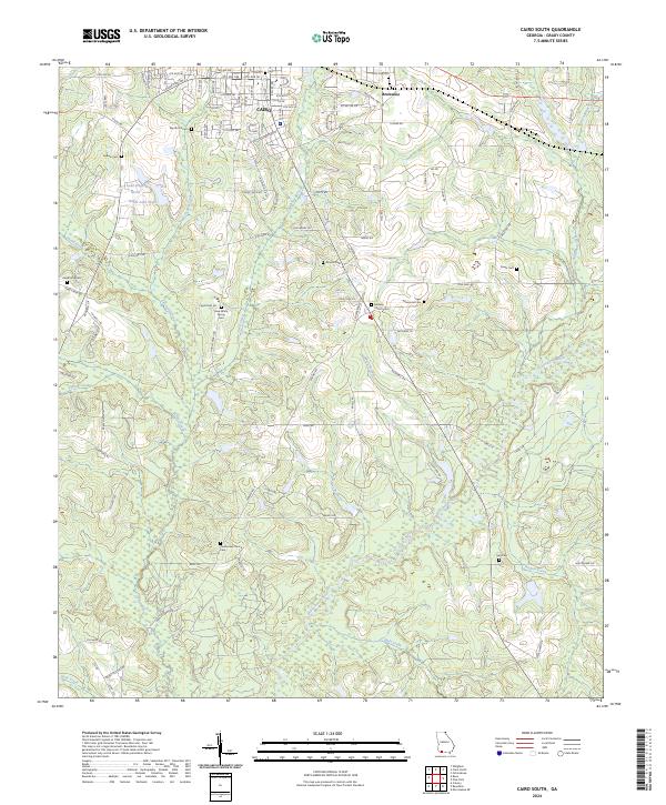
2024 Cairo South
Grady County, GA
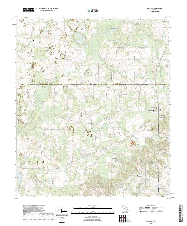
2024 Gee Pond
Grady County, GA
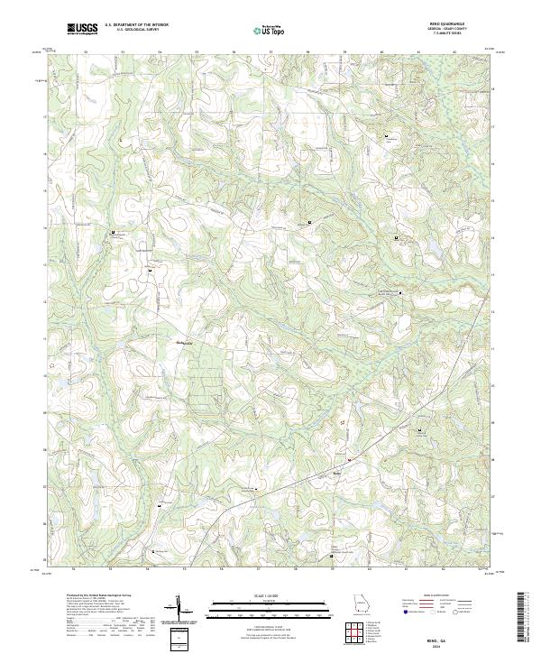
2024 Reno
Grady County, GA