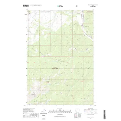
2020 Map of Beacon Point
USGS Topo · Published 2020About this map
Spanish Peaks and the high-elevation terrain of the Gallatin National Forest dominate this 2020 topographic survey, straddling the border between Madison and Gallatin Counties. The landscape is defined by its complex drainage systems, including the Gallatin River and numerous forks like Little Hellroaring Creek and N Fork Spanish Cr. Hidden among the peaks are several alpine basins and lakes, such as Diamond Lake, Arrow Lake, and Grayling Lake, which provide a detailed record of the local hydrology and elevation. Human presence is concentrated primarily in the northeast, where the Gallatin Rd corridor and Benham Bridge provide access across the river. For those researching local history or families, the inclusion of Edens Cem near Sheep Rock and the marking of established routes like Hyde Creek Rd offer points of connection to the area's development and land use.
Find a feature on this map
45 named features on this map. Tap any name to fly to it.
Don’t see what you’re looking for? This feature index may not catch every label — zoom into the map to look around manually.
Map Details
Editions of this 2020 Beacon Point Map
This is the sole edition of this map. No revisions or reprints were ever made.
Other maps of this area

1888 · Three Forks
USGS Topo · 1:250,000

1894 · Three Forks
USGS Topo · 1:250,000

1895 · Three Forks
USGS Topo · 1:250,000

1947 · Bozeman
USGS Topo · 1:250,000

1948 · Bozeman
USGS Topo · 1:250,000

1949 · Anceney
USGS Topo · 1:62,500

1950 · Spanish Peaks
USGS Topo · 1:62,500

1953 · Bozeman
USGS Topo · 1:62,500

1955 · Bozeman
USGS Topo · 1:250,000

1955 · Garnet Mountain
USGS Topo · 1:62,500