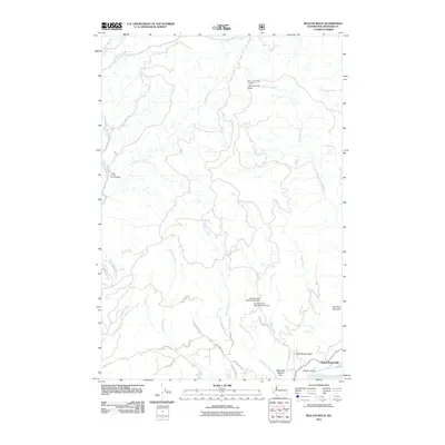
2011 Map of Beacon Rock
USGS Topo · Published 2011About this map
North Bonneville sits at the southern edge of this landscape along the Columbia River, serving as a primary point of settlement near the massive geological monolith of Beacon Rock. The area's topography is defined by significant elevation changes, from the riverbank up to the high point of Hamilton Mountain. To the north, the terrain becomes increasingly complex with the drainage systems of Hamilton Creek and Stebbins Creek, eventually reaching the Three Corner Rock Lookout.
Find a feature on this map
35 named features on this map. Tap any name to fly to it.
Don’t see what you’re looking for? This feature index may not catch every label — zoom into the map to look around manually.
Map Details
Editions of this 2011 Beacon Rock Map
This is the sole edition of this map. No revisions or reprints were ever made.
Other maps of this area

1926 · Hood River
USGS Topo · 1:125,000

1929 · Hood River
USGS Topo · 1:125,000

1940 · Lookout Mtn
USGS Topo · 1:62,500

1948 · Vancouver
USGS Topo · 1:250,000

1950 · Vancouver
USGS Topo · 1:250,000

1950 · Vancouver
USGS Topo · 1:250,000

1953 · Lookout Mtn
USGS Topo · 1:62,500

1953 · The Dalles
USGS Topo · 1:250,000

1954 · Bridal Veil
USGS Topo · 1:62,500

1956 · The Dalles
USGS Topo · 1:250,000